Welcome to the next report from the trip. From 12.10 to 19.10 together with my husband, my father-in-law and brother-in-law we travelled through Gran Canaria. As usual, it took me a few weeks to plan my trip. The weather was good and now I have a little bit to show and describe, so let’s go.
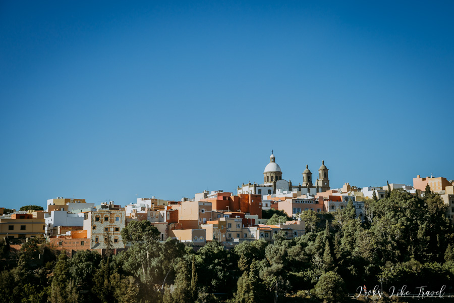
I take my first pictures on the plane. We fly over small islands. I suspect that they are Isla de Alegranza and Isla de Montana Clara. We also pass Lanzarote and Fuerteventura. Finally we reach Gran Canaria. Frankly speaking, the first impression isn’t too good. We only see the brown colour and we have the impression that there is no greenery on the island. The surroundings of the airport do not delight either – a lot of windmills, power plants and factories.
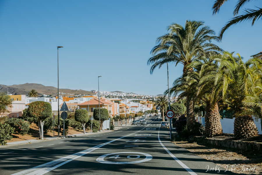
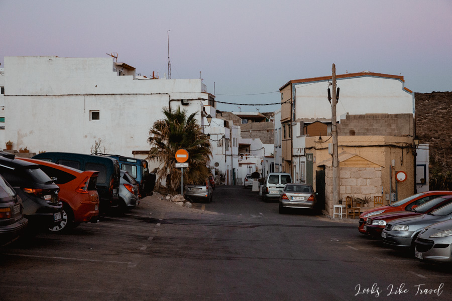
We land at the airport Aeropuerto de Gran Canaria and immediately rent a car from the most recommended Cicar rental company. We get a car with full insurance and an additional driver included in the price. Then we drive to check in the apartment in Arinaga and put away our luggage. The journey to the place is about 15 minutes on the highway. This is a good route to get acquainted with the car.
Before we managed to unpack suitcases, the owner of the apartment welcomes us on the parking. We take care of all the formalities then we rest for a while. We leave the apartment just before sunset. The rest of the day we spend on the spot, eating in a local restaurant, walking, shopping for tomorrow and enjoying the high temperatures in October.
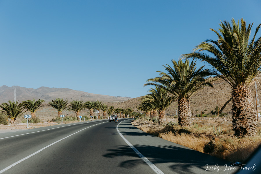
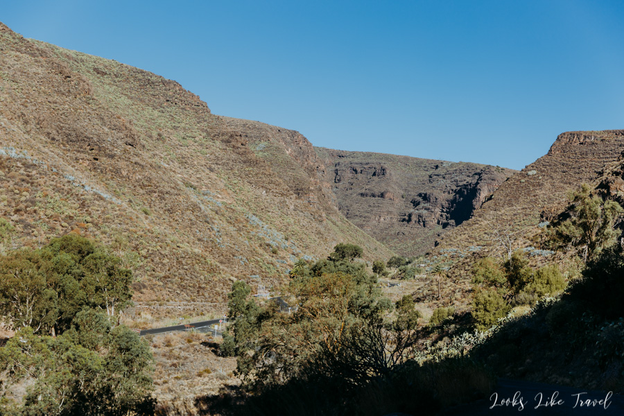
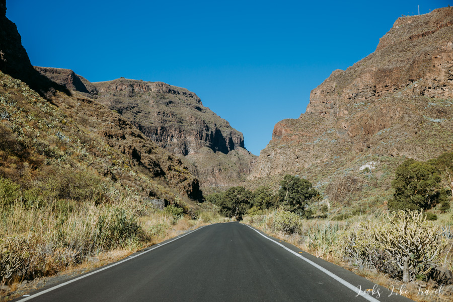
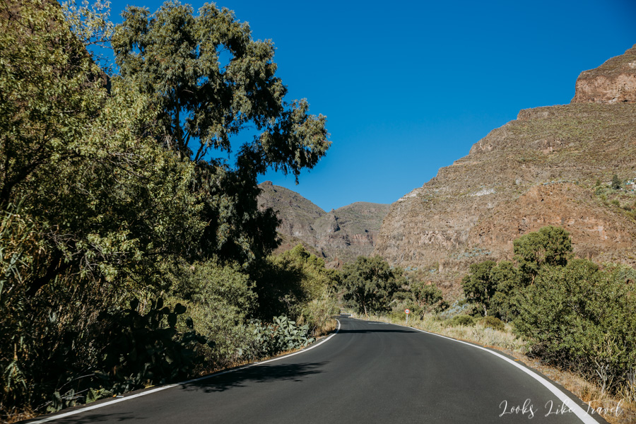
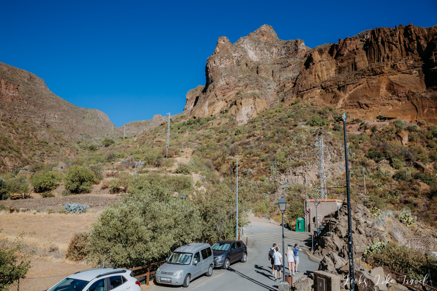
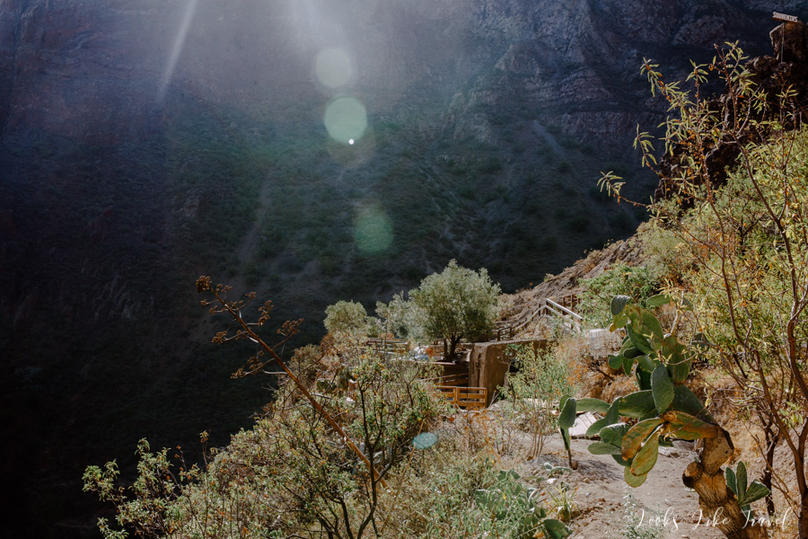
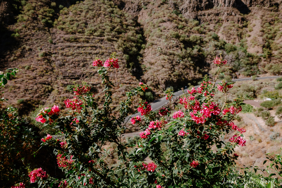
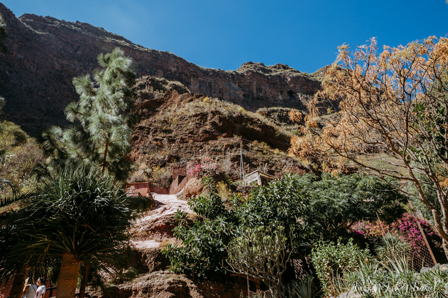
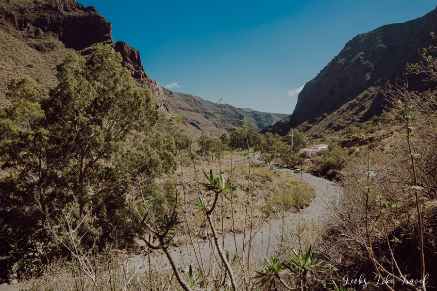
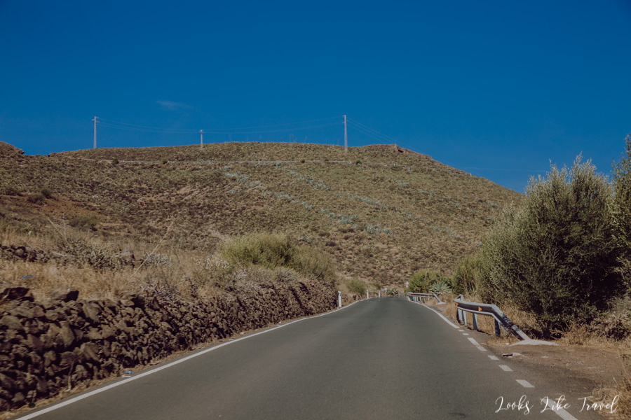
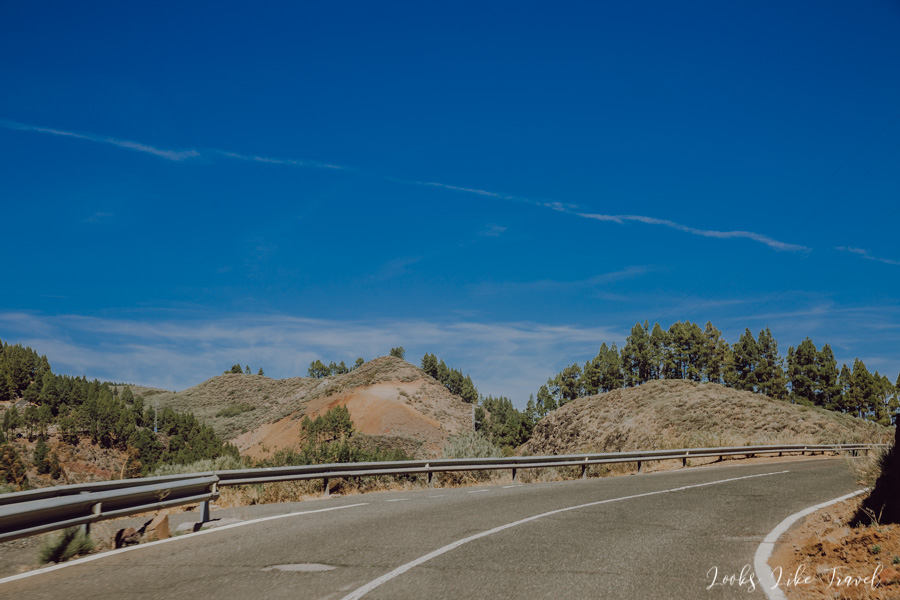
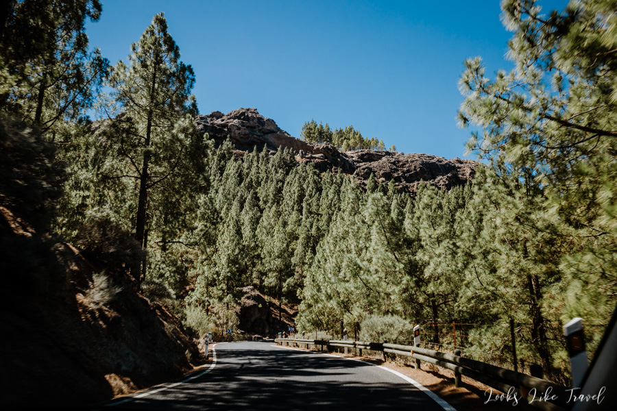
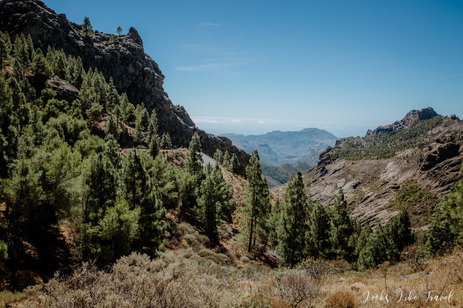
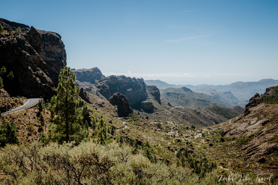
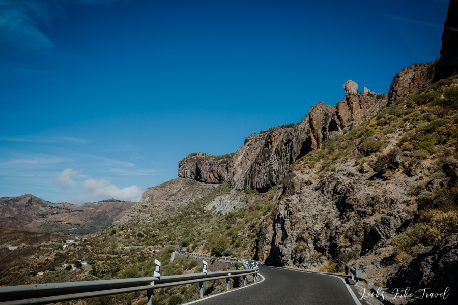
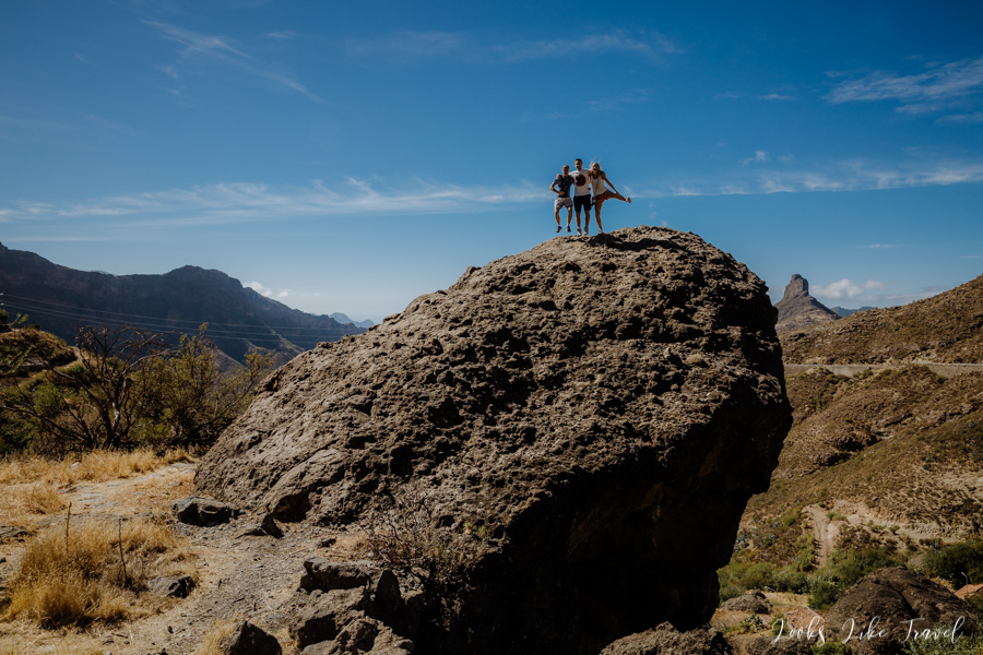
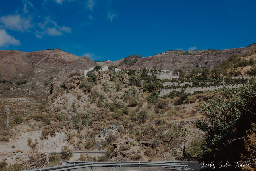
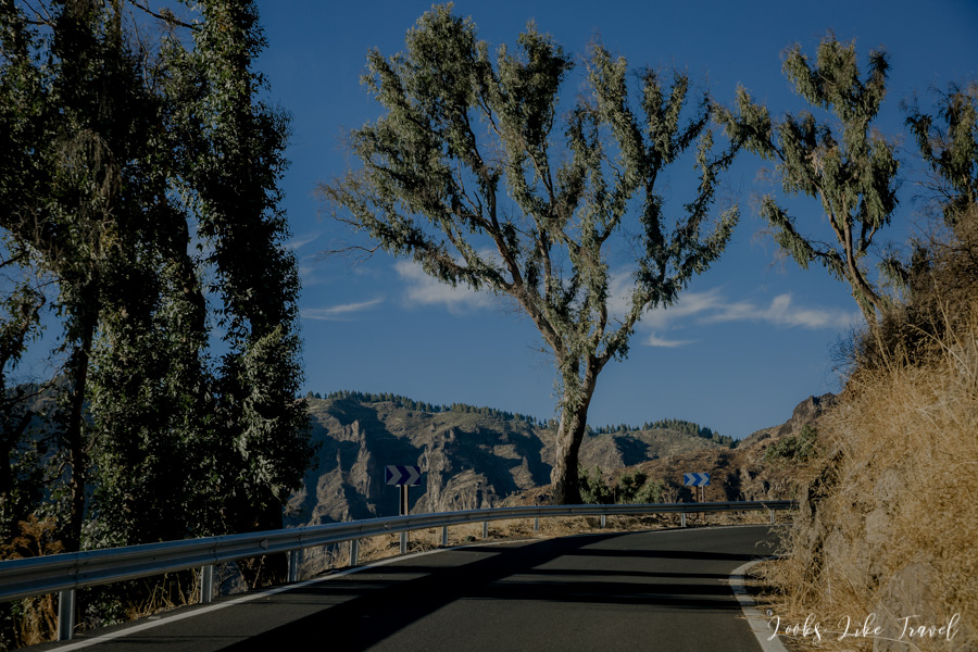
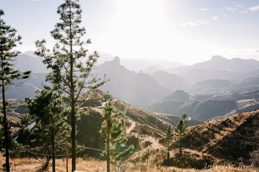
road to most beautiful island`s ravine
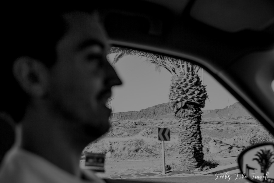
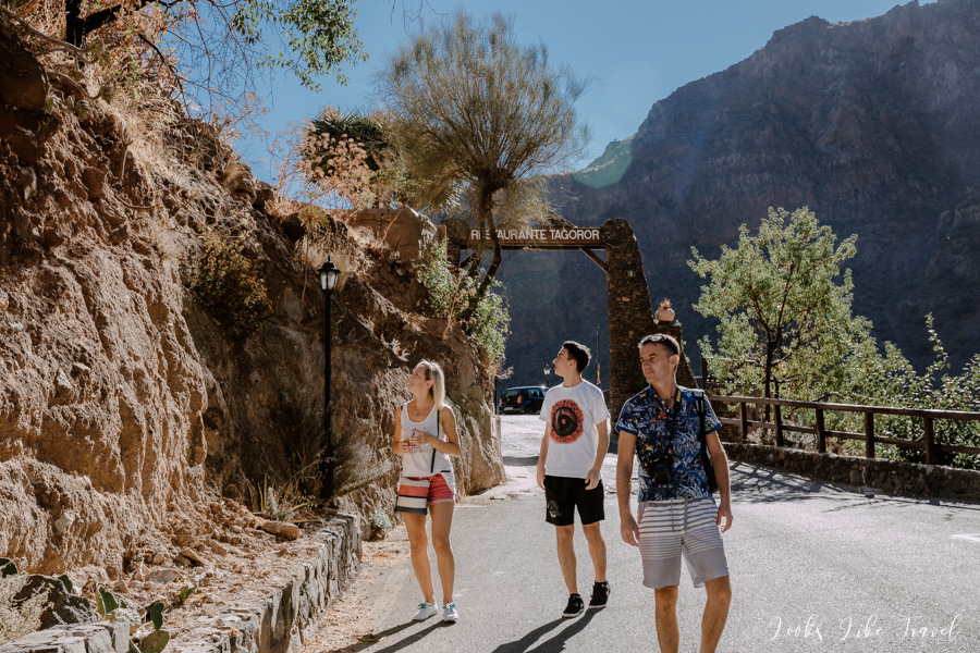
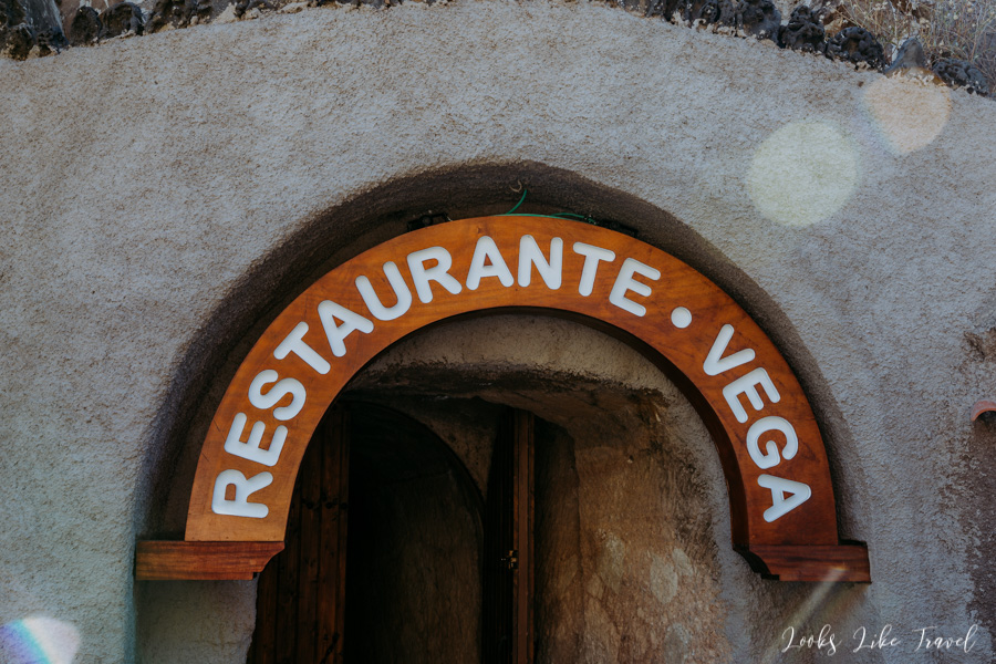
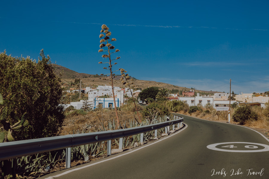
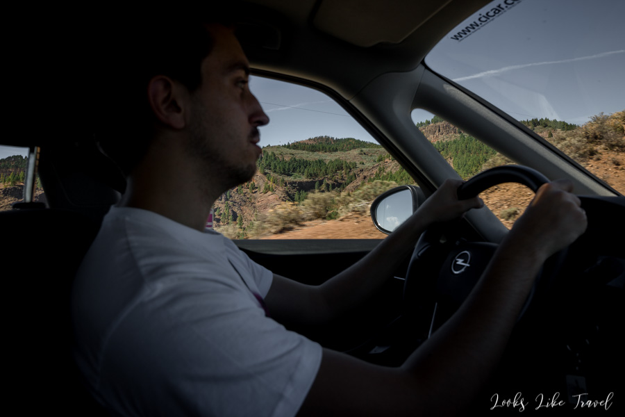
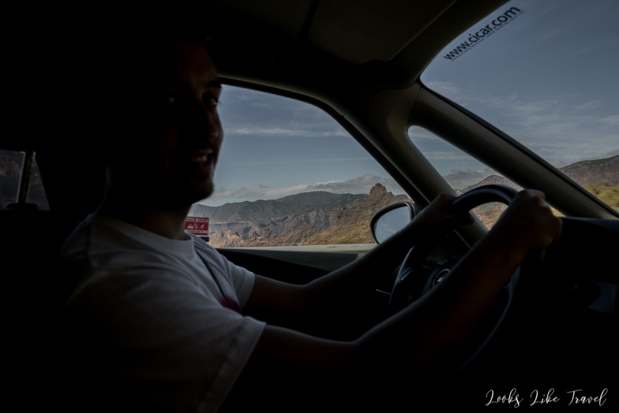
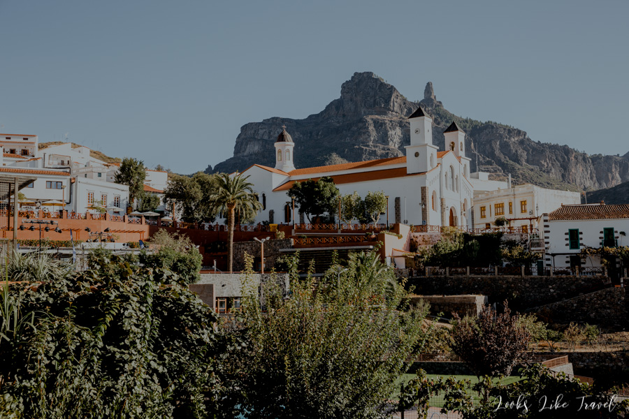
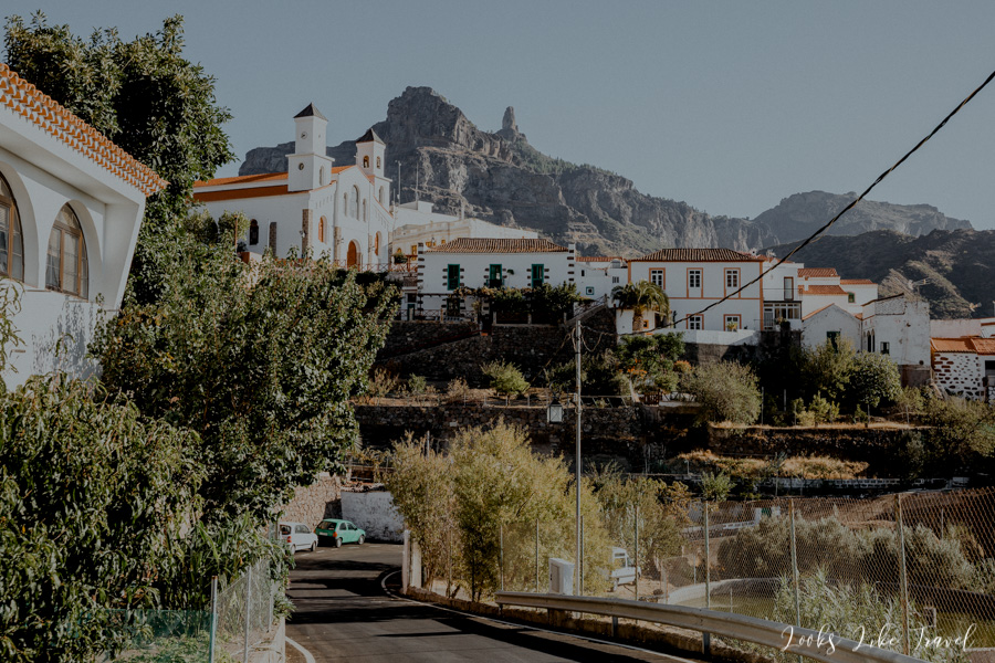
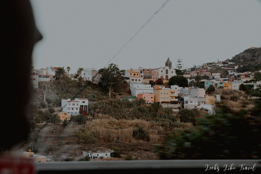
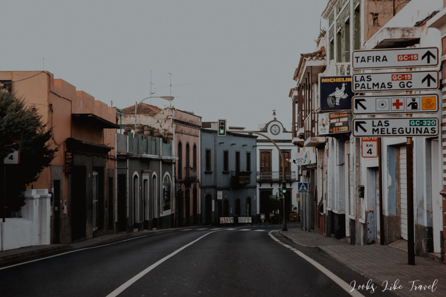
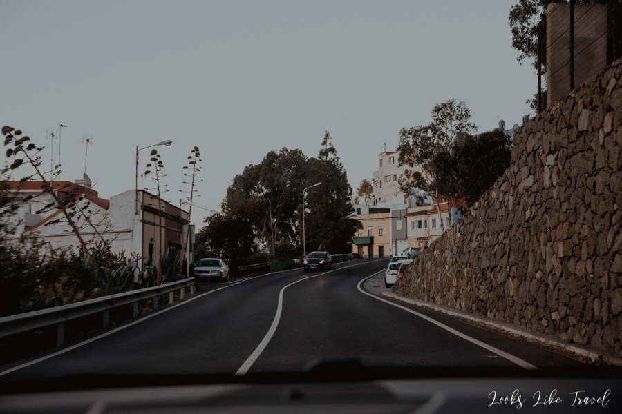
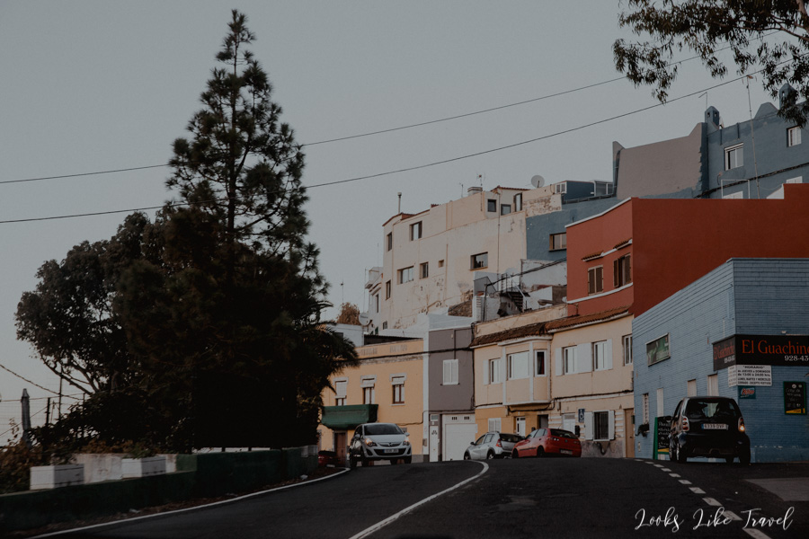
The next morning we leave the apartment without breakfast, because the plan is to have a meal in the famous restaurant in the rock – Restaurante Vega in the Barranco de Guayadeque ravine. This is a 30-minute route from Arinaga. I sit in the front next to the irreplaceable driver Wojtek. I have the best place to admire the views and the opportunity to take photos. We pass through the small town of Agüimes.
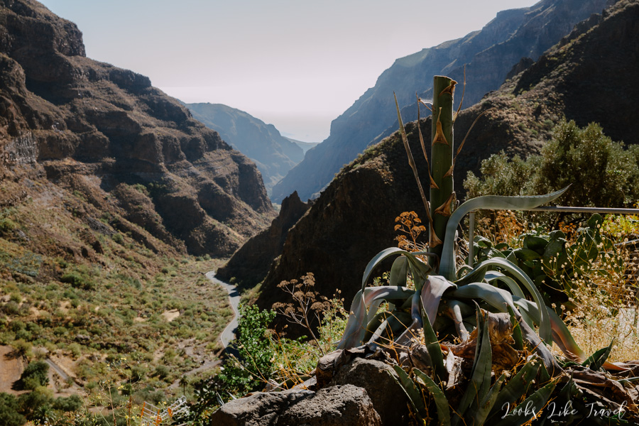
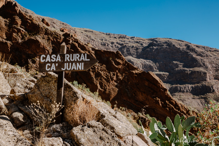
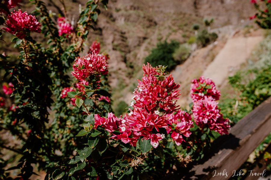
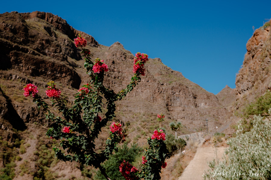
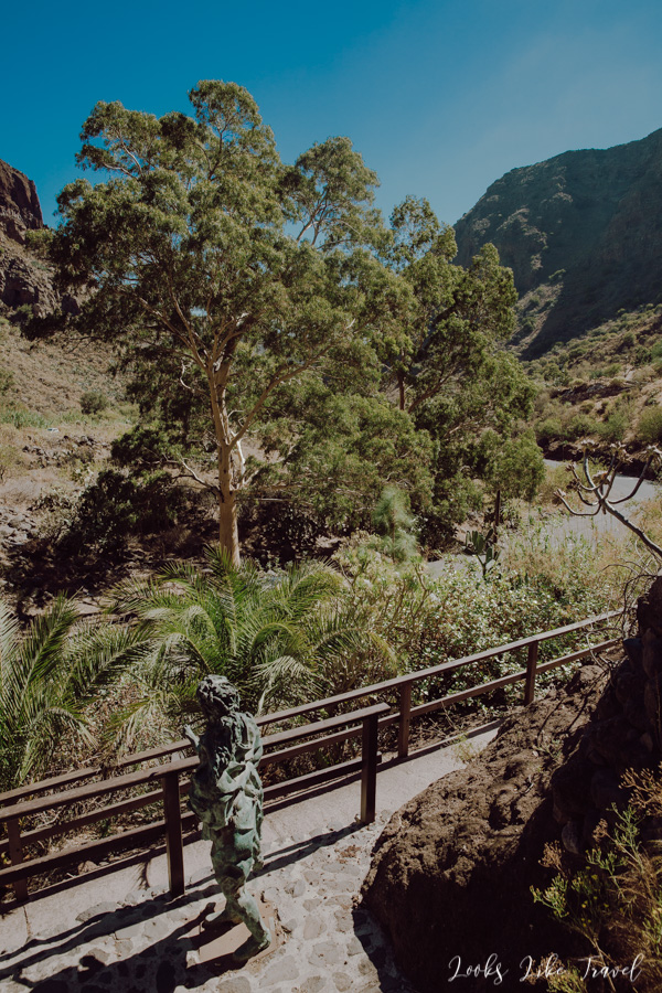
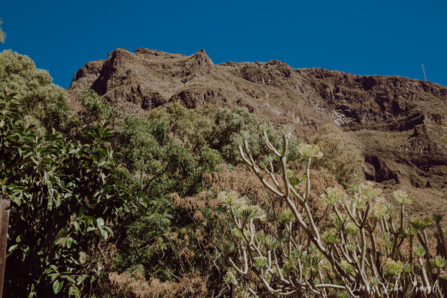
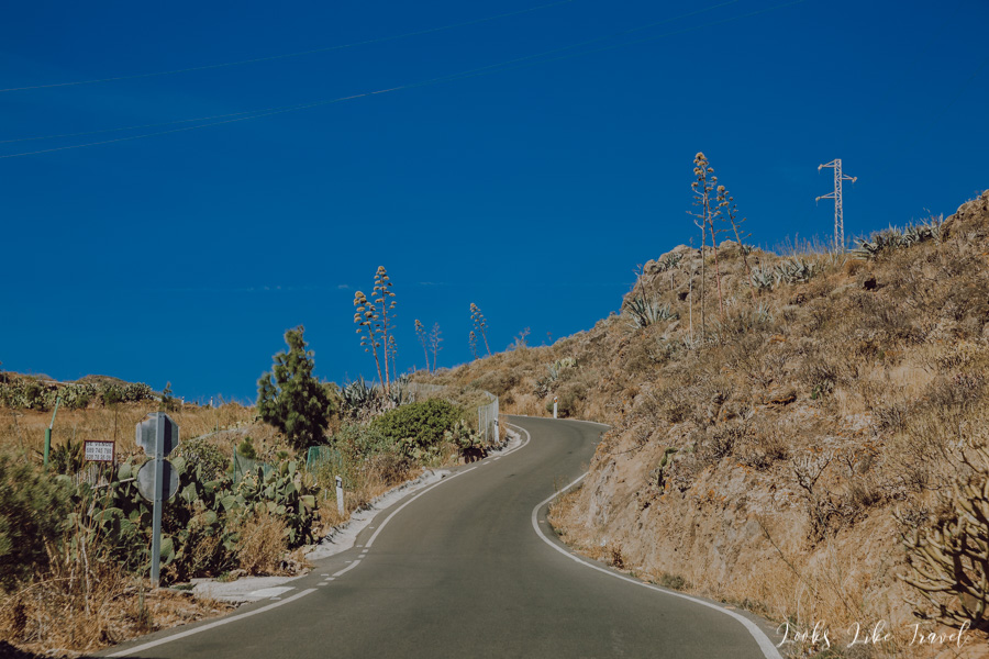
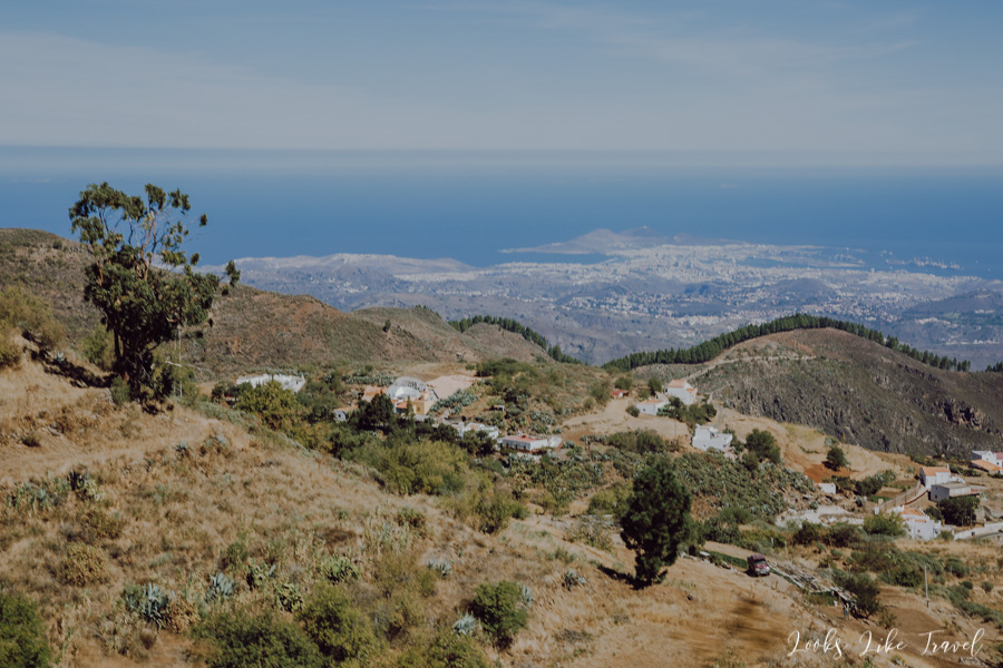
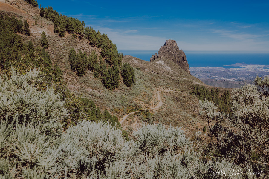
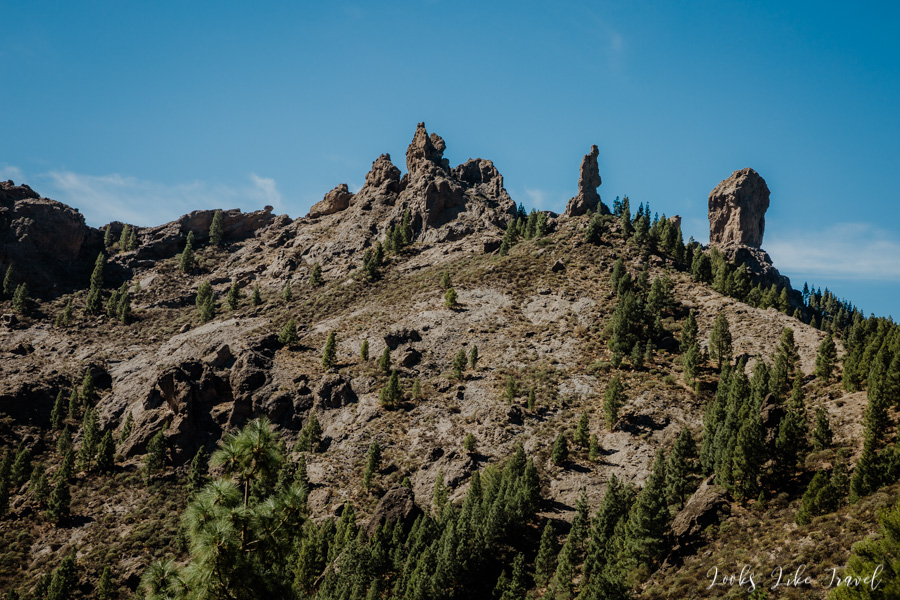
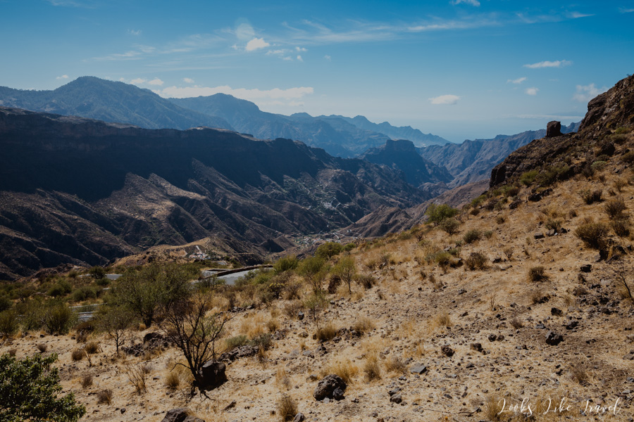
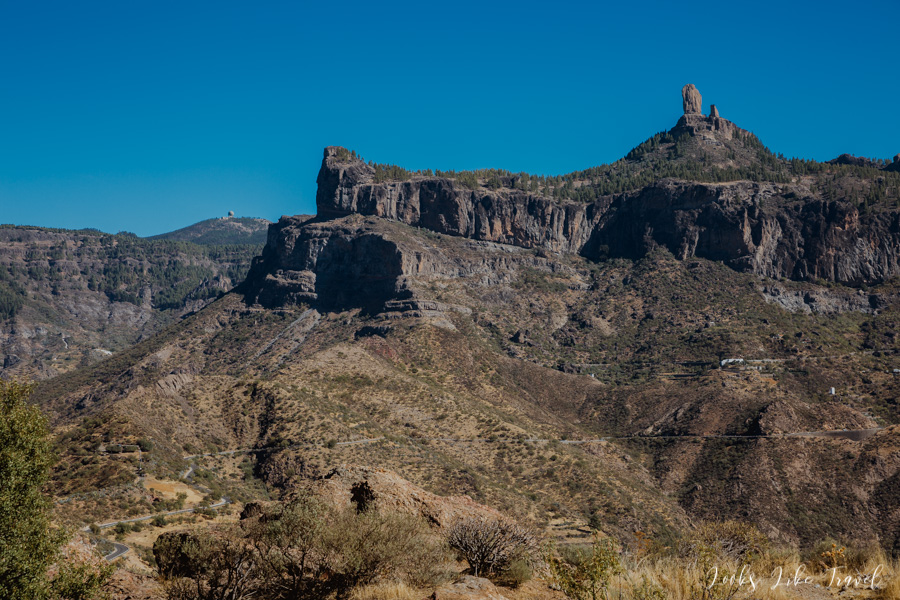
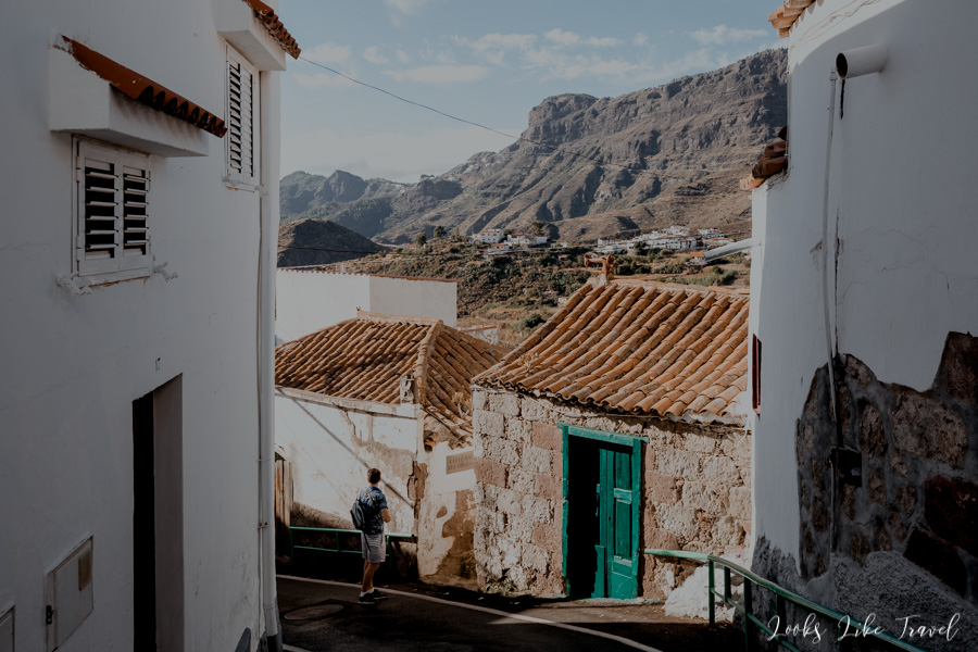
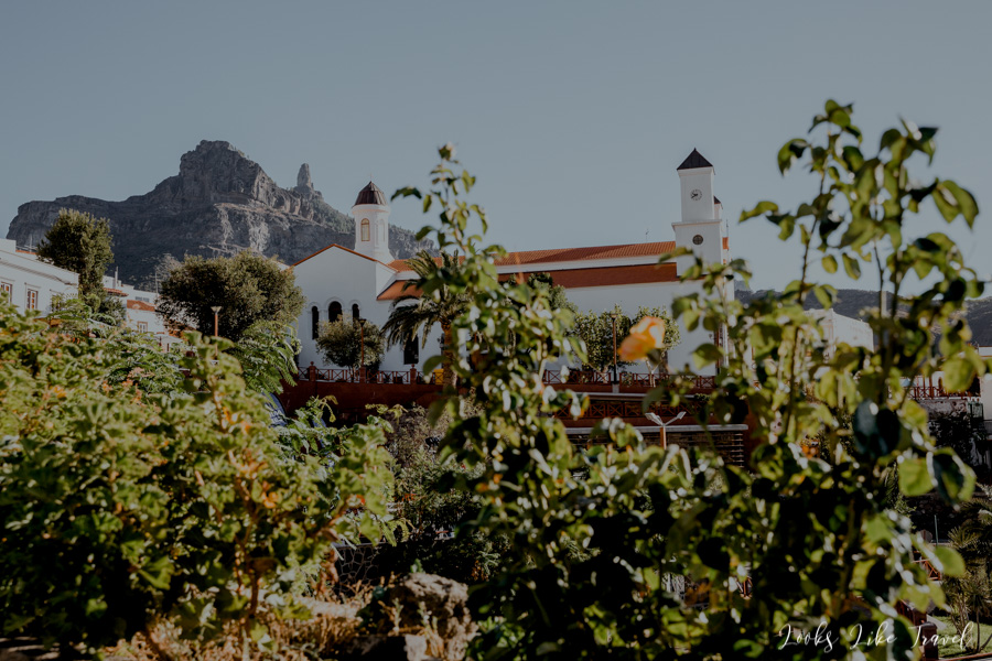
Barranco de Guayadeque- “Must see” on Gran Canaria
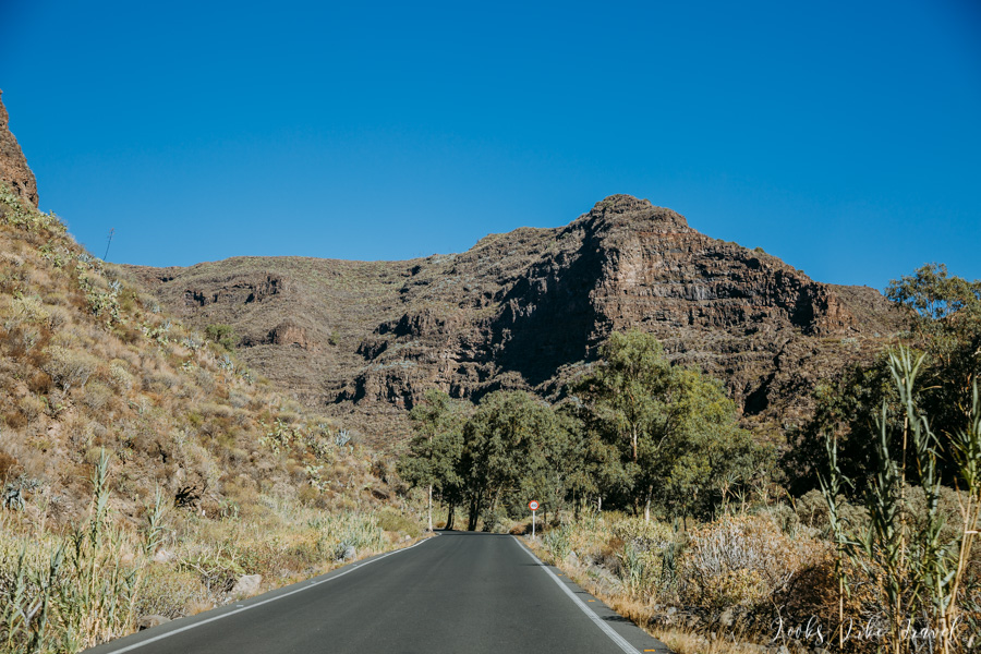
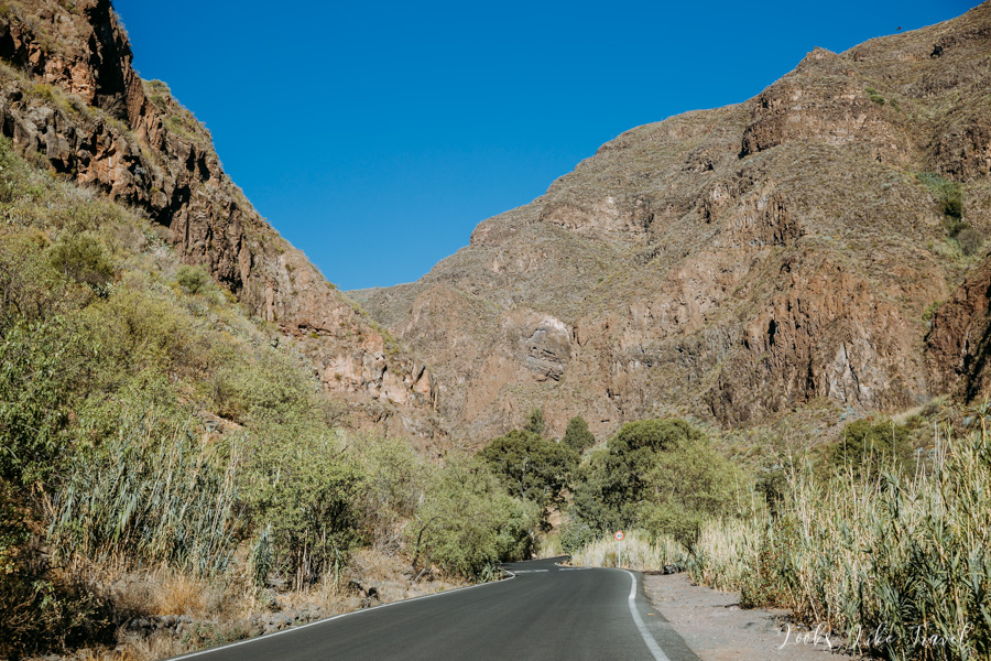
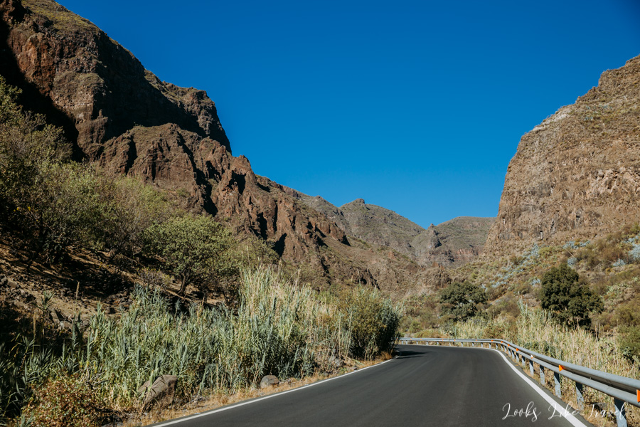
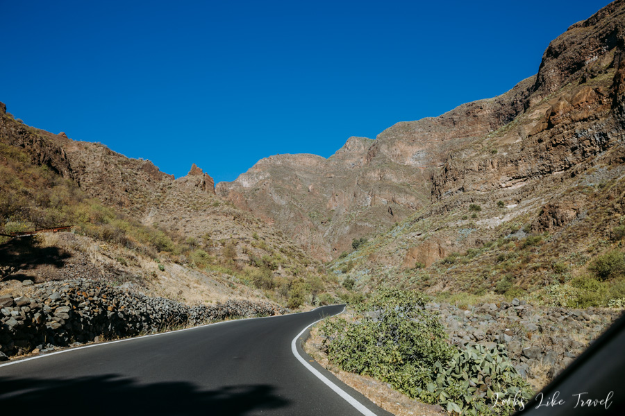
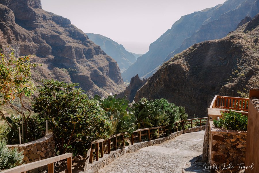
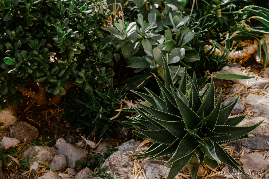
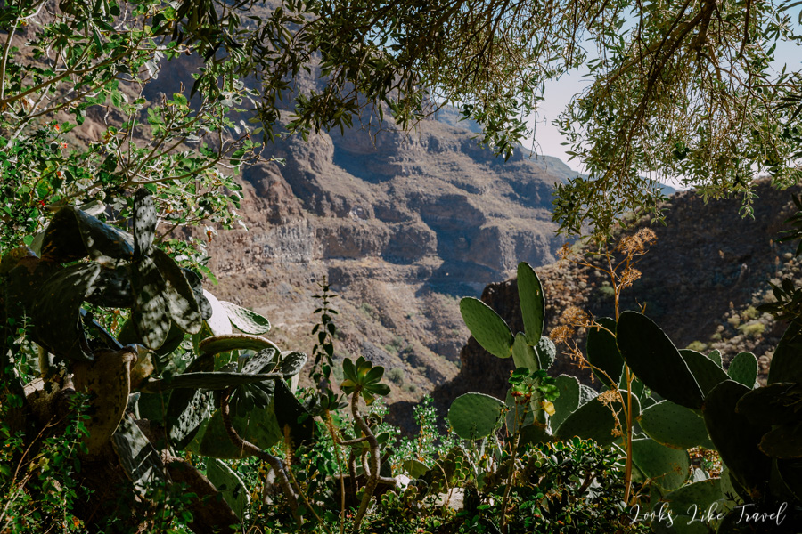
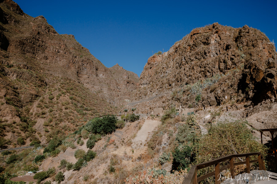
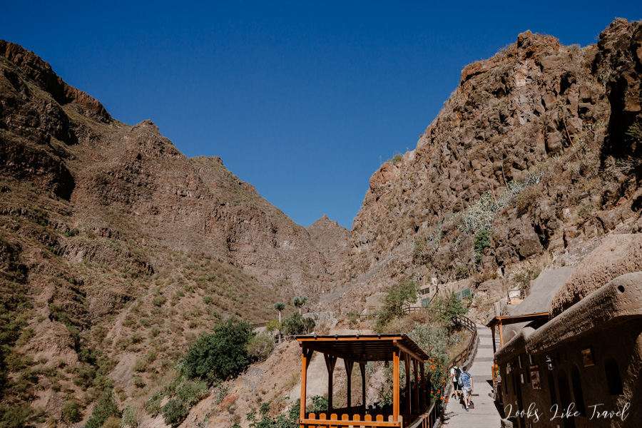
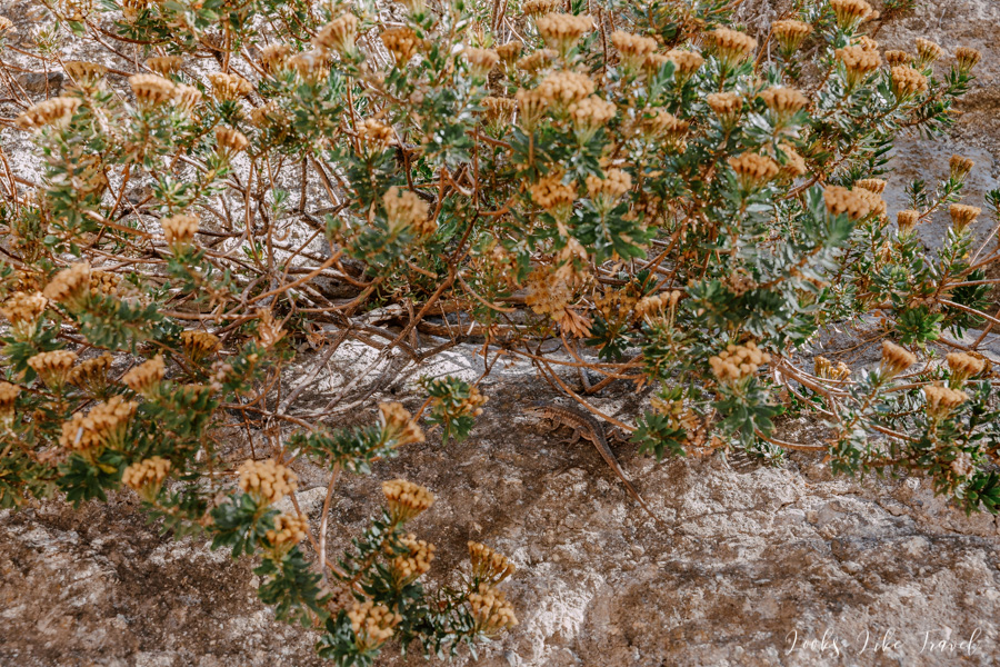
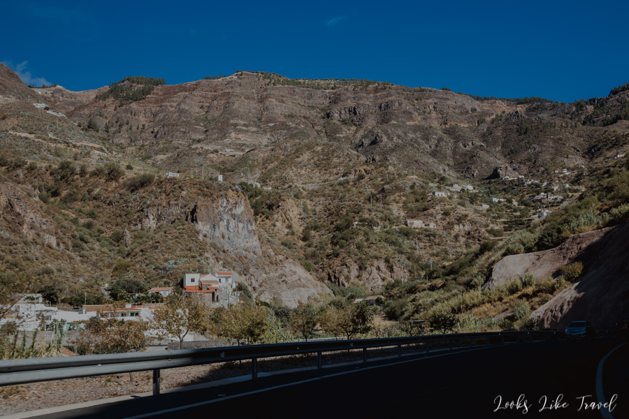
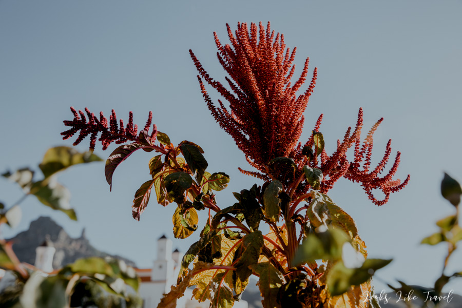
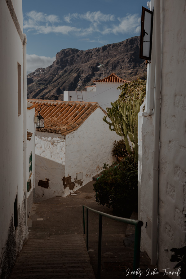
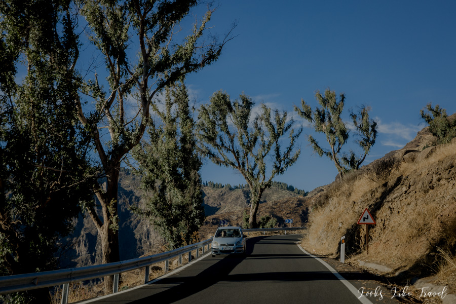
Behind the village the road becomes narrow and quite winding. Contrary to appearances, it is much easier to drive when you already reached the ravine. It’s true that there are some turns, but each next one reveals a new portion of magnificent views. The Barranco de Guayadeque Gorge is considered to be one of the most beautiful places on the island. It is overgrown with lush vegetation, so our impression from the plane about the flora of Gran Canaria was mistaken. The ravine was once inhabited by the Guanches. In their language, the Barranco de Guayadeque meant “the place where the water flows” and this was due to the fact that the river used to flow here in the past.
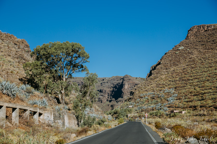
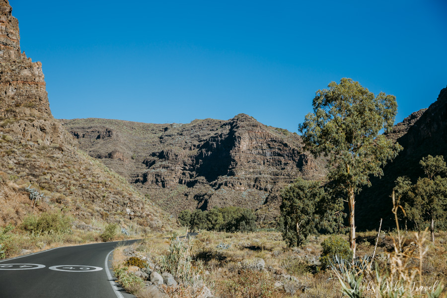
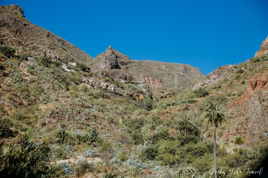

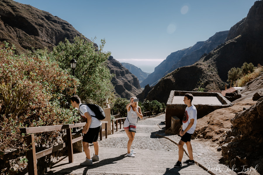
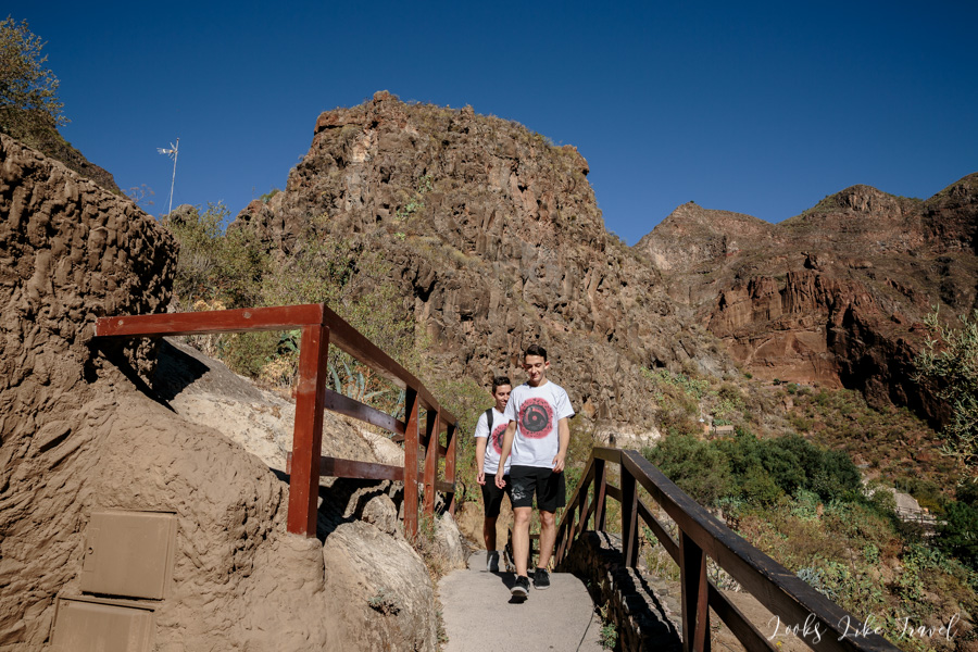
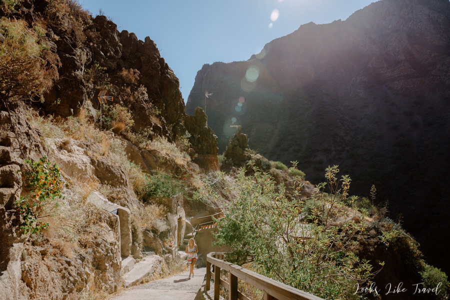
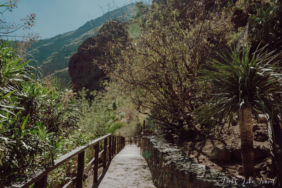
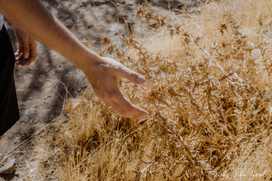
ravine walk
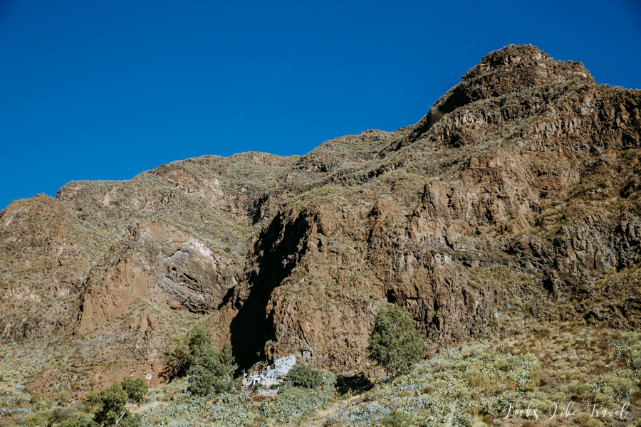
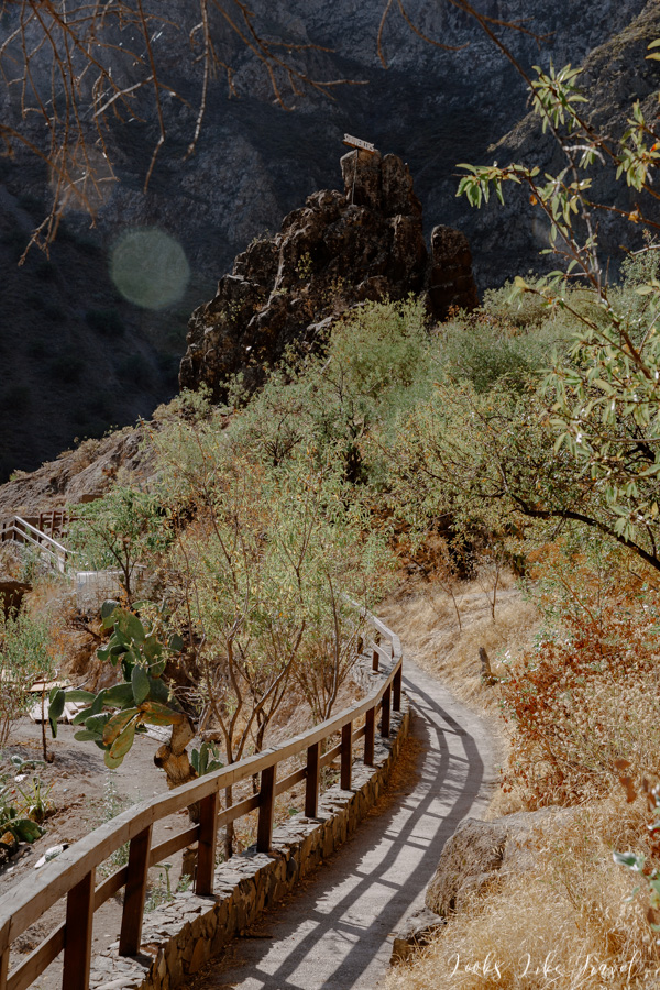
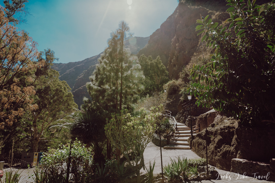
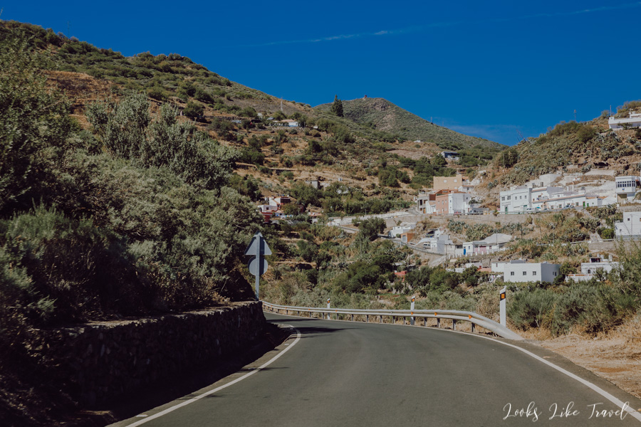
We arrive at the restaurant just after opening. However, it turns out that the opening time does not mean that you can eat something right away. The kitchen needs about an hour to start, so nice waiter shows us where we can go to see the surrounding interesting places. We make a small round, admiring the mountains, abysses and houses in the rocks.
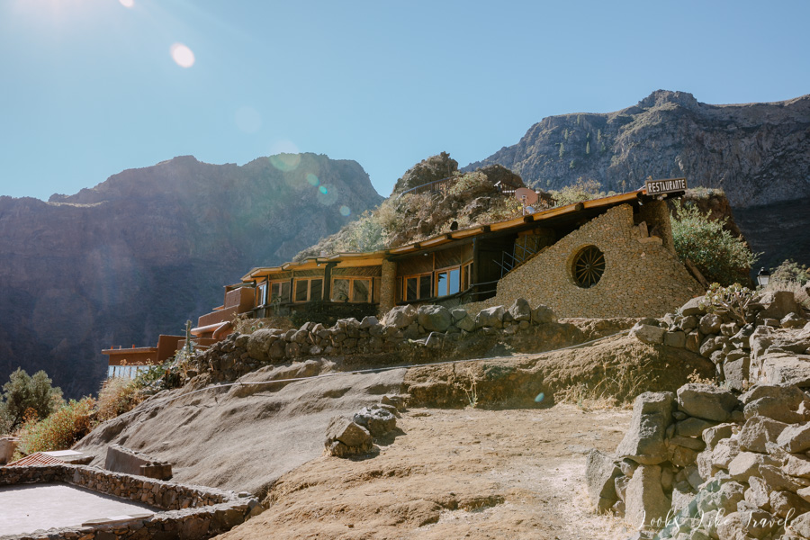
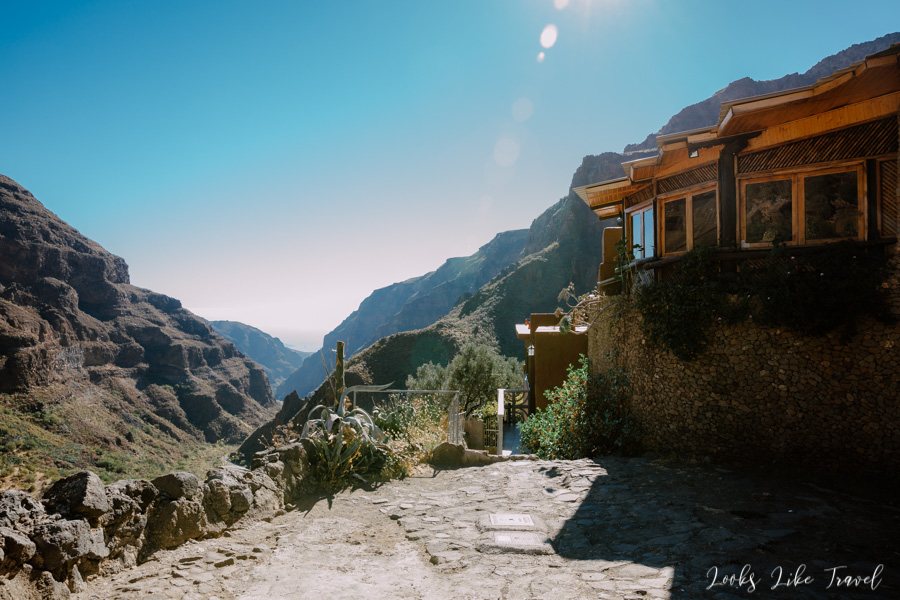
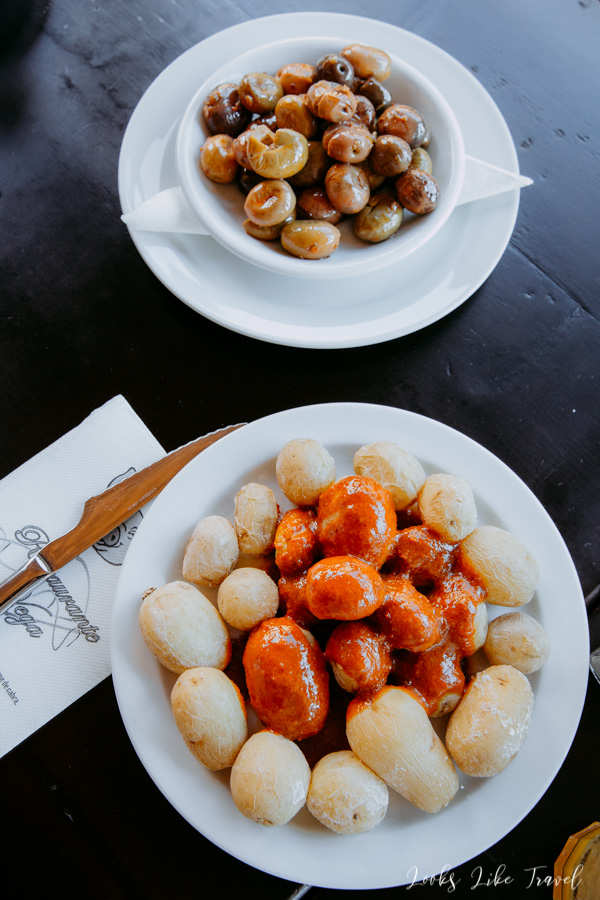
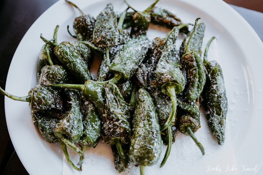
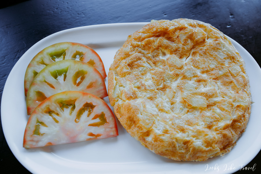
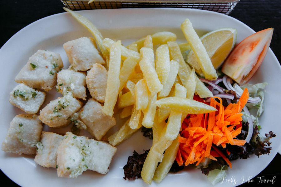
Delicious, sightseeing breakfast – we recommend it!
After a short walk we return for breakfast. Of course to try everything, we order too much. Eventually it isn’t that bad, because then we won’t have to stop for food for a long time. We try the island’s famous specialty – potatoes in sauce, salt peppers, olives, potato omelette, and pieces of fish and chips. We also order another specialty – Ron miel liquor, which is a combination of rum and local honey. The driver can also try this alcohol, because in the Canary Islands the permitted blood alcohol content to drive a car is 0.5 promile, so you can easily drink a glass of wine or a small beer for lunch.
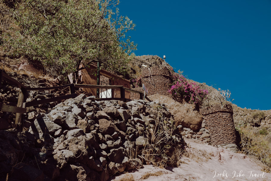
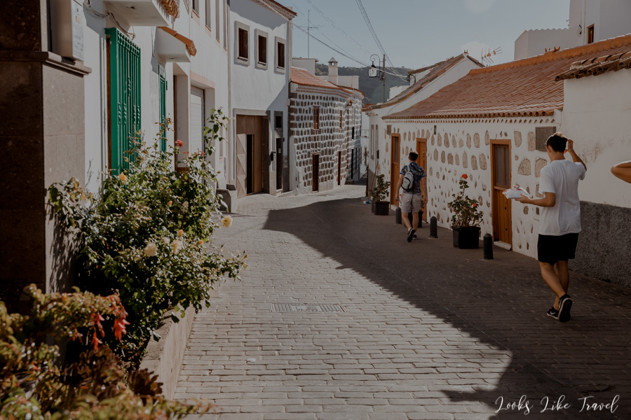
cuevas barmejas
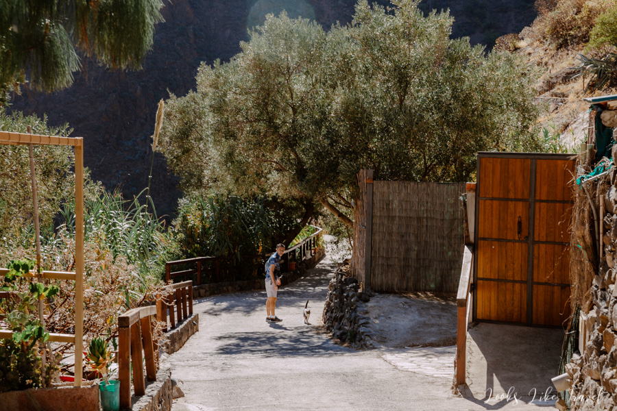
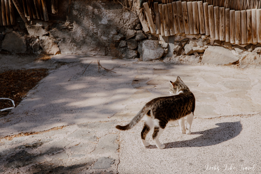
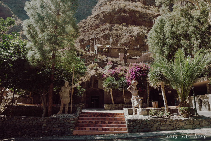
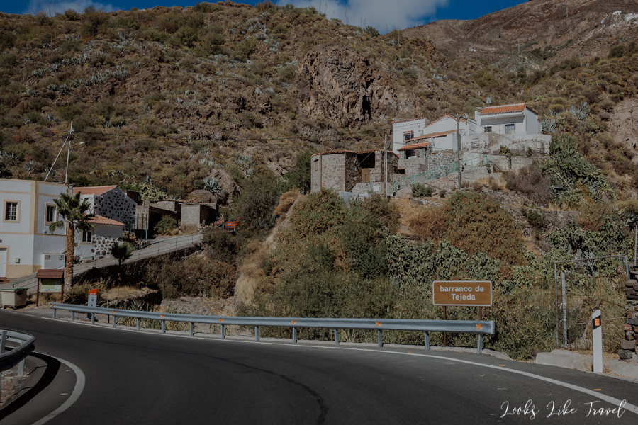
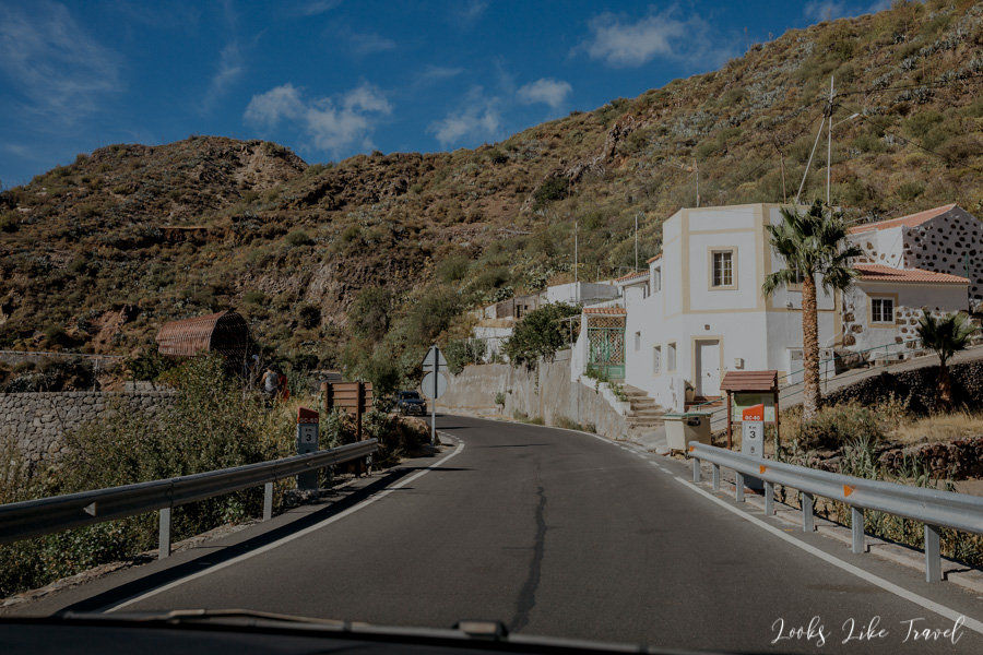
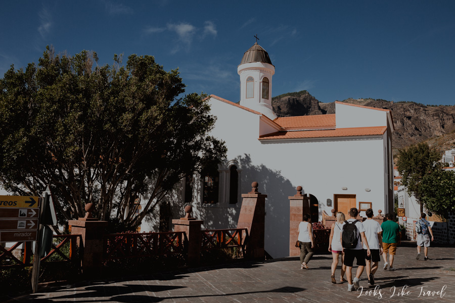
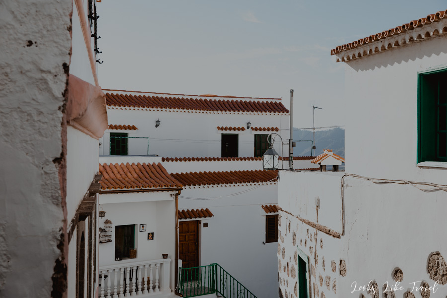
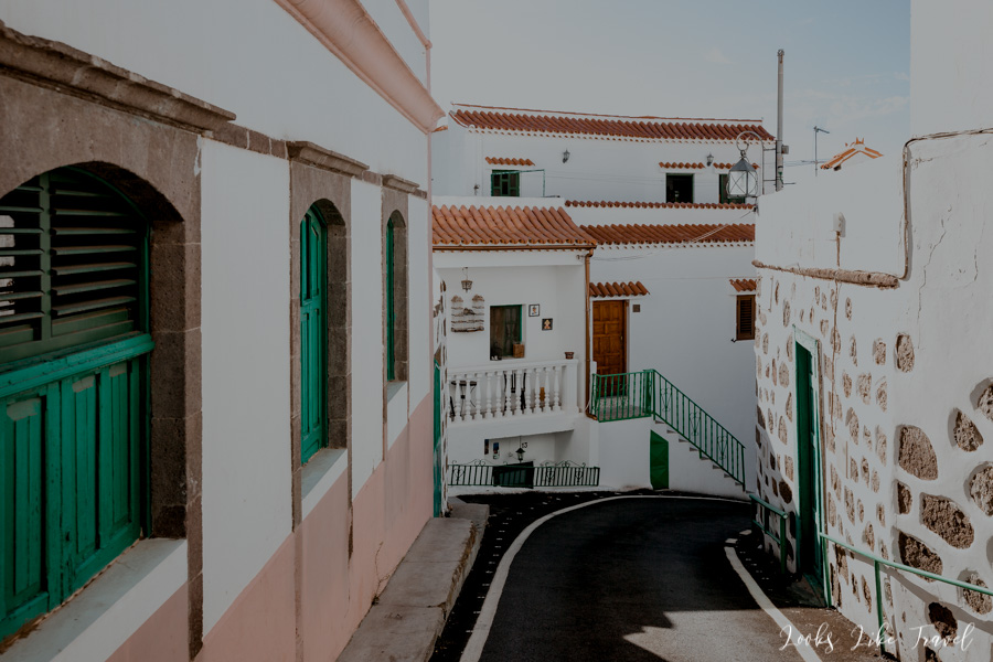
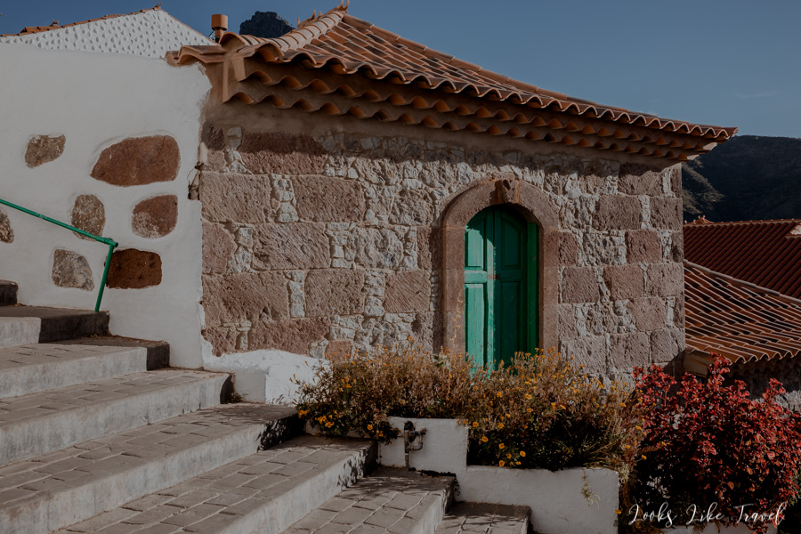
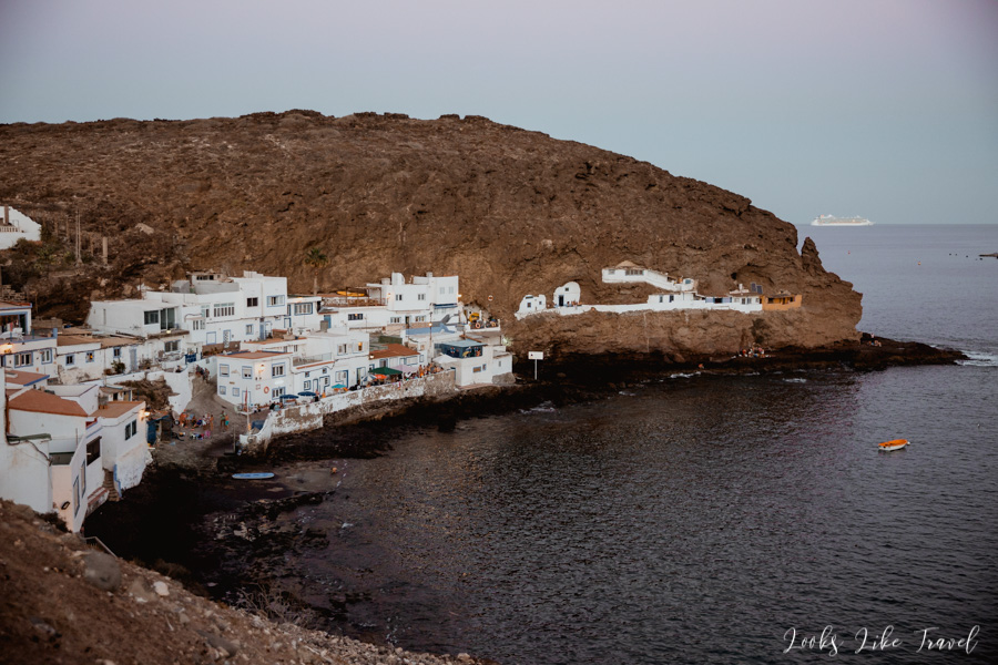
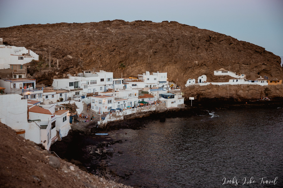
After breakfast we go down to a village nearby, located a little lower, which we passed earlier on our way to the restaurant. This place is called Cuevas Barmejas (Scarlet Caves). The visible cottages in the rocks are still inhabited by people. These small houses are characterized by equally small backyards, but often very atmospheric and blooming ones. There is also a church on site, which is also located in the rock. We shoot a pair of photos and we move on.
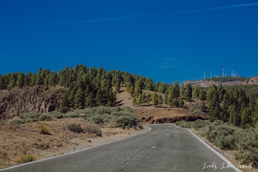
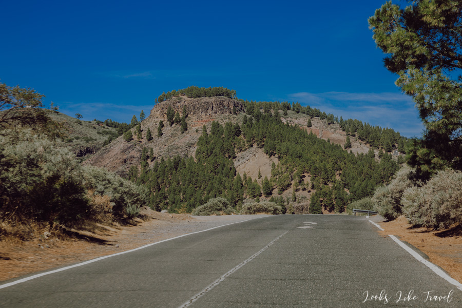
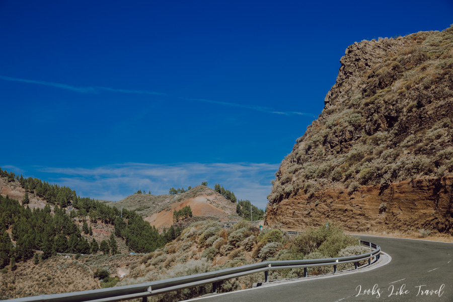
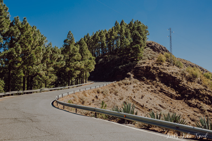
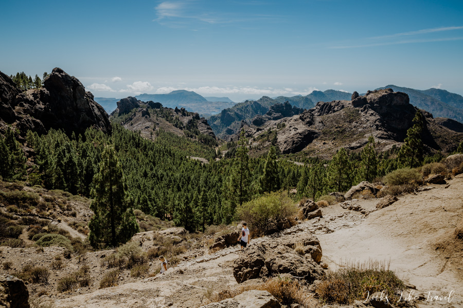
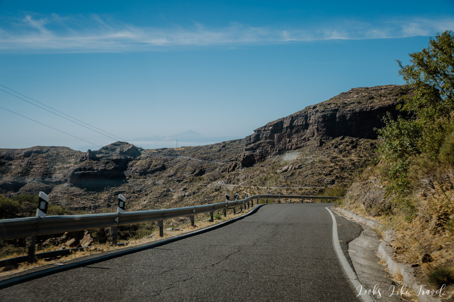
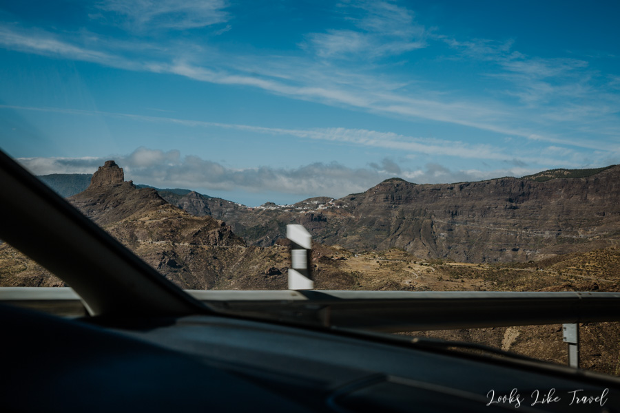
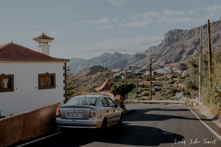
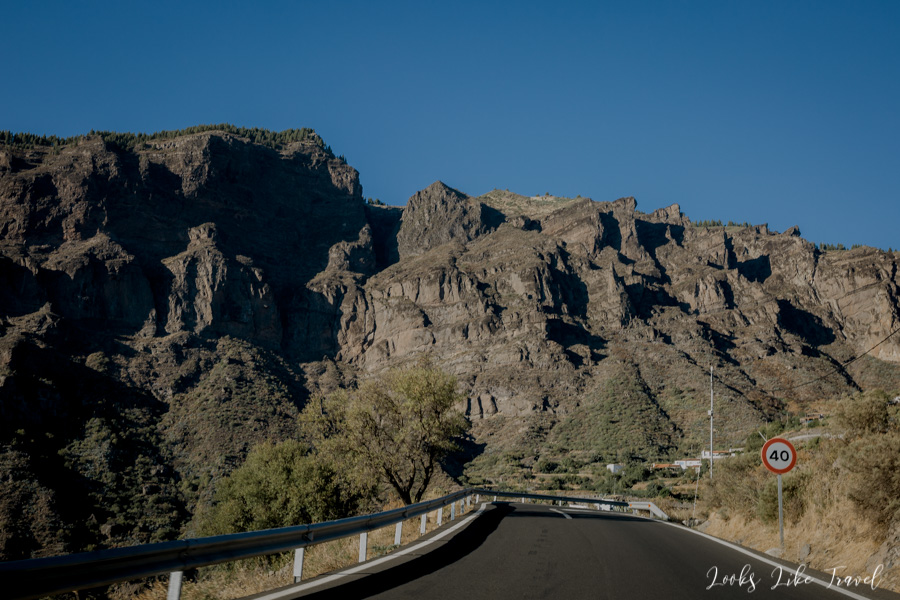
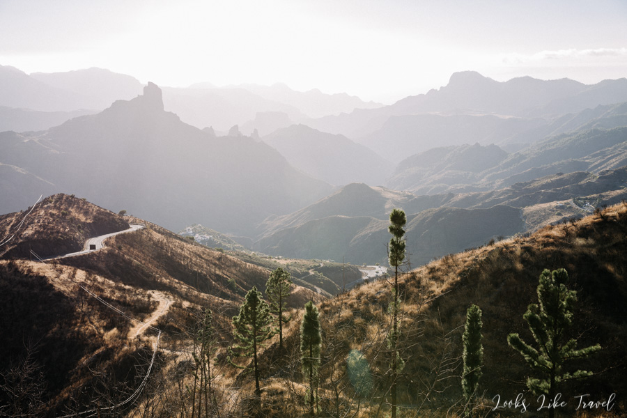
road to Caldera de Los Marteles
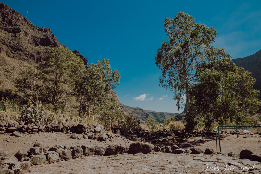
Below there are pictures from the route to our next point of the trip. We plan to have several viewpoints.
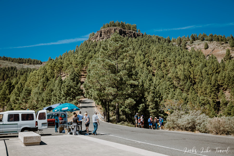
We approach the first lookout point. The surroundings and the climate change a bit. Now we drive along the road among beautiful coniferous trees.
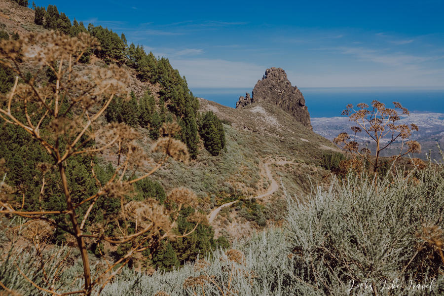
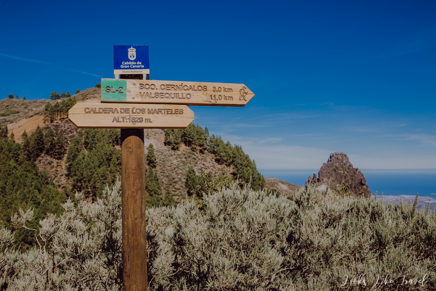
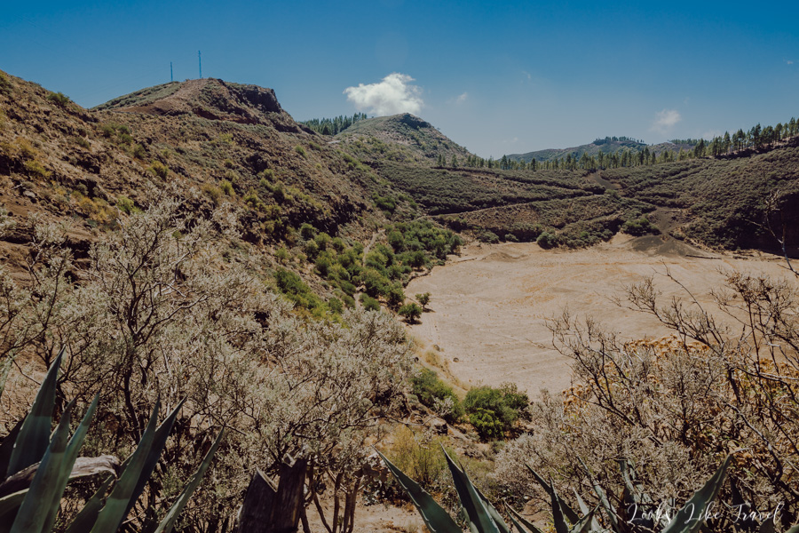
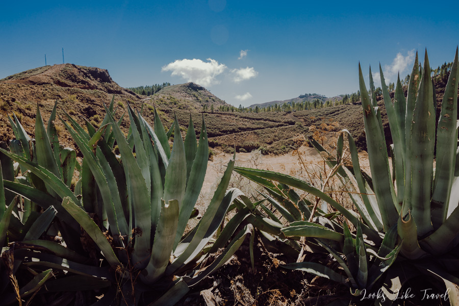
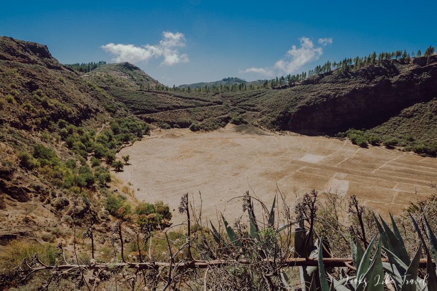
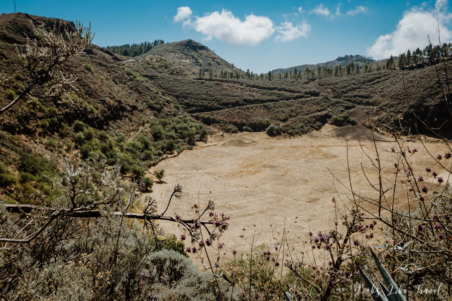
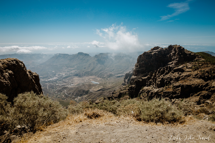
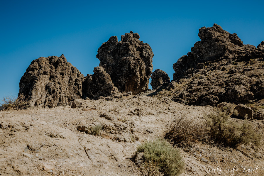
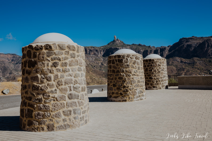
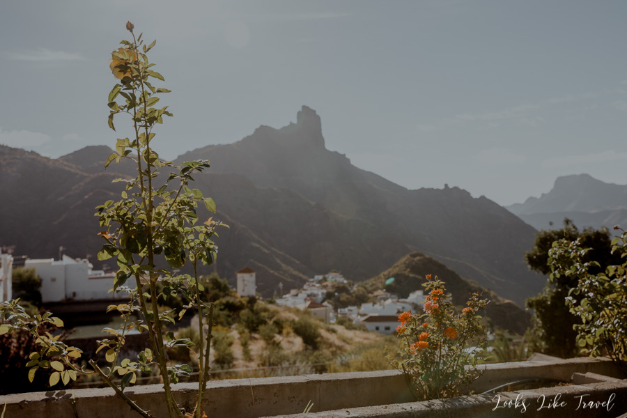
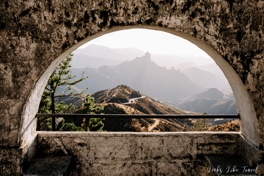
Caldera de Los Marteles
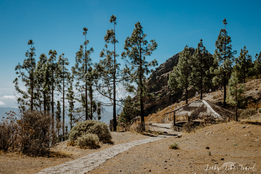
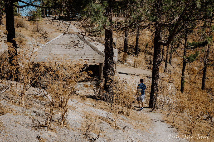
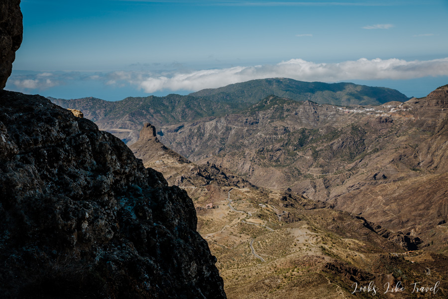
Finally, we get to this first, mysterious point. It is Caldera Los Marteles Viewpoint. All the places named in this post can be easily found on google maps. There is a small car park and a stand where you can buy local products. The interior of the volcanic caldera is perfectly visible from here. On the other side of the street you can see a small rock behind which a blue ocean emerges. You can go up to the rock, there is a special marked trail. However, we do not have much time. We need to go further.
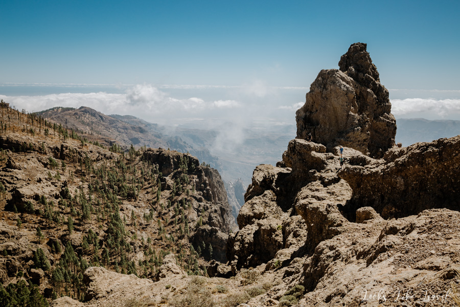
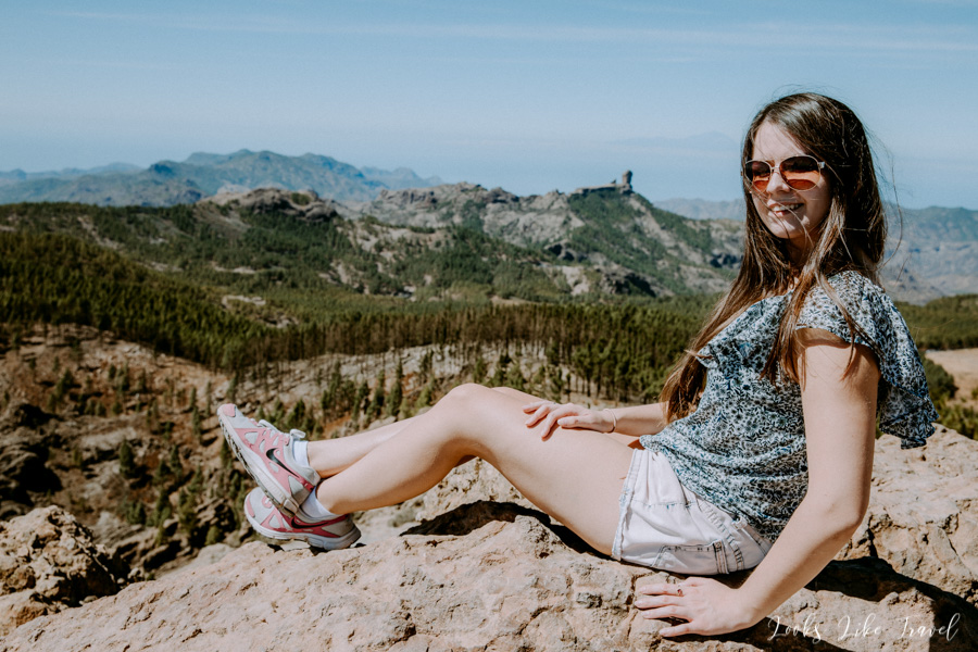
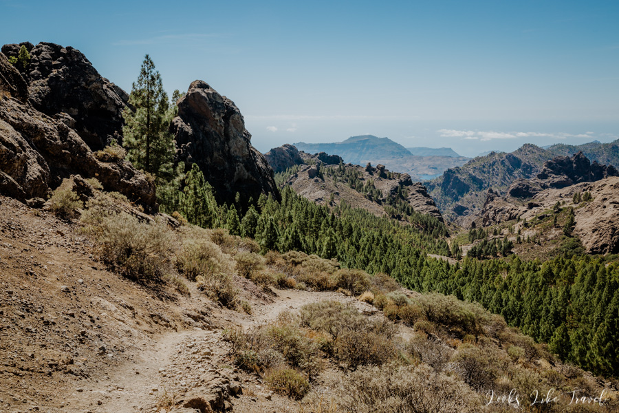
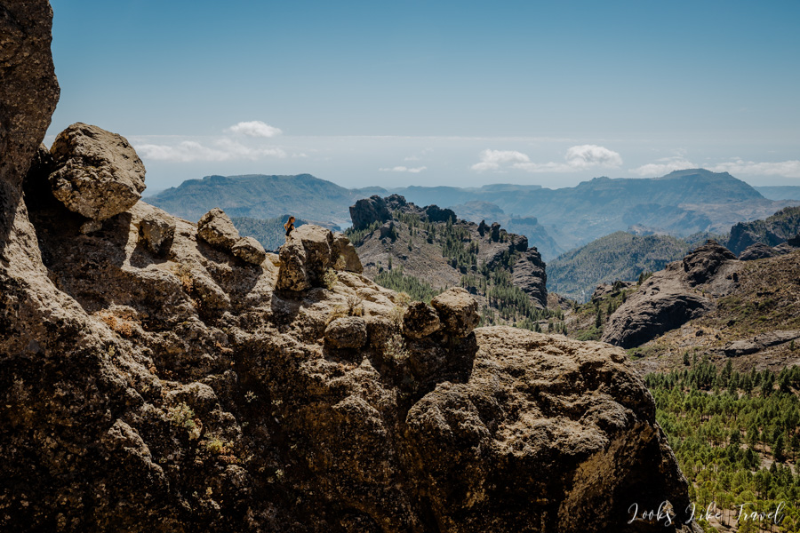
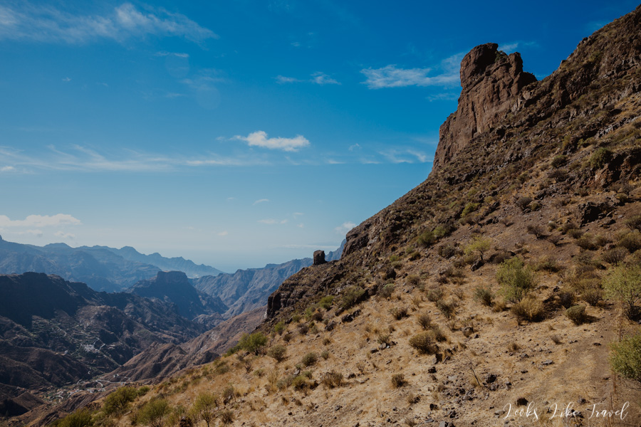
peak of the gran canaria
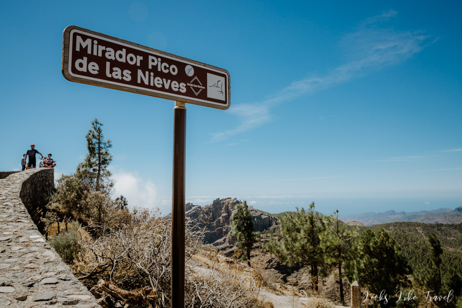
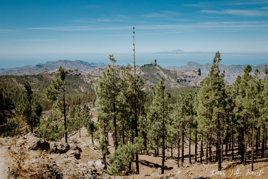
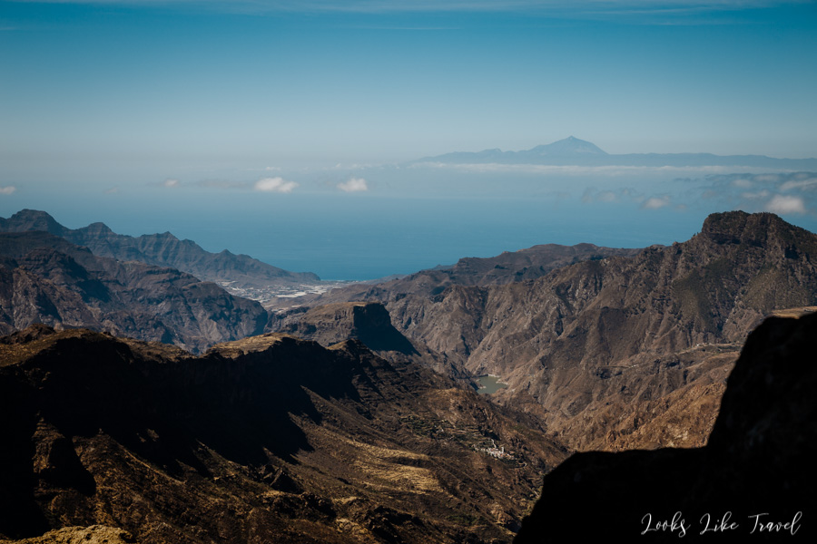
We go through the forest until we reach the second lookout point. From here you can see Pico de las Nieves– the highest peak in Gran Canaria. As we could have expected, we see beautiful mountainous views and shoot a lot of photos.
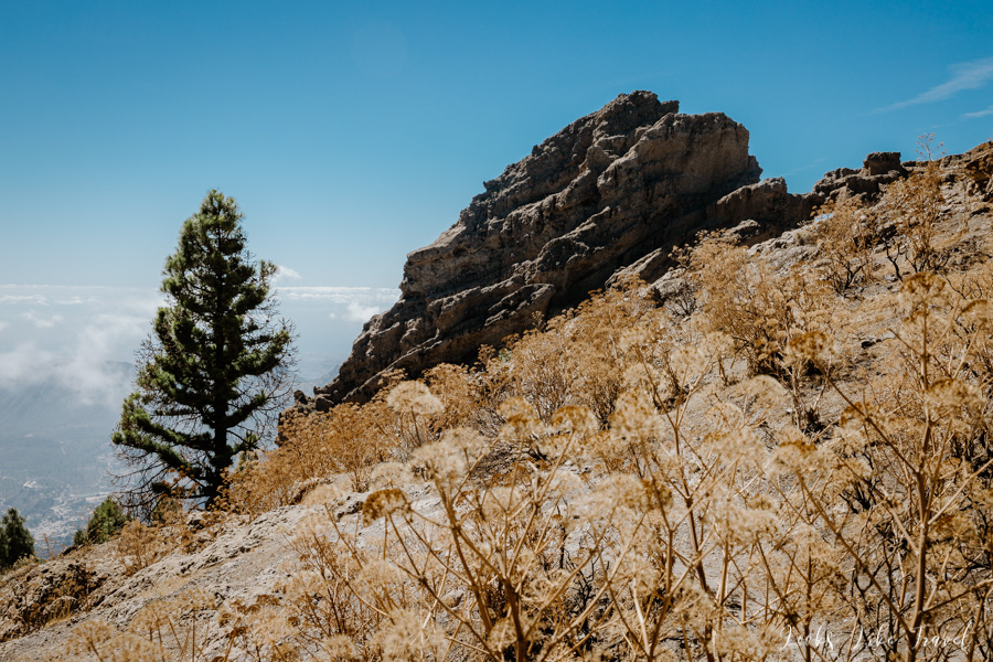
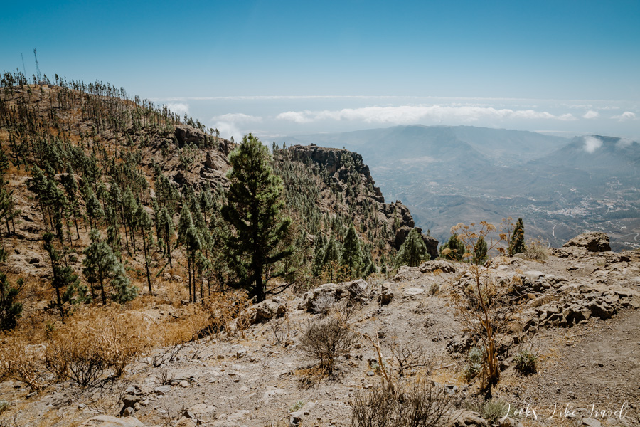
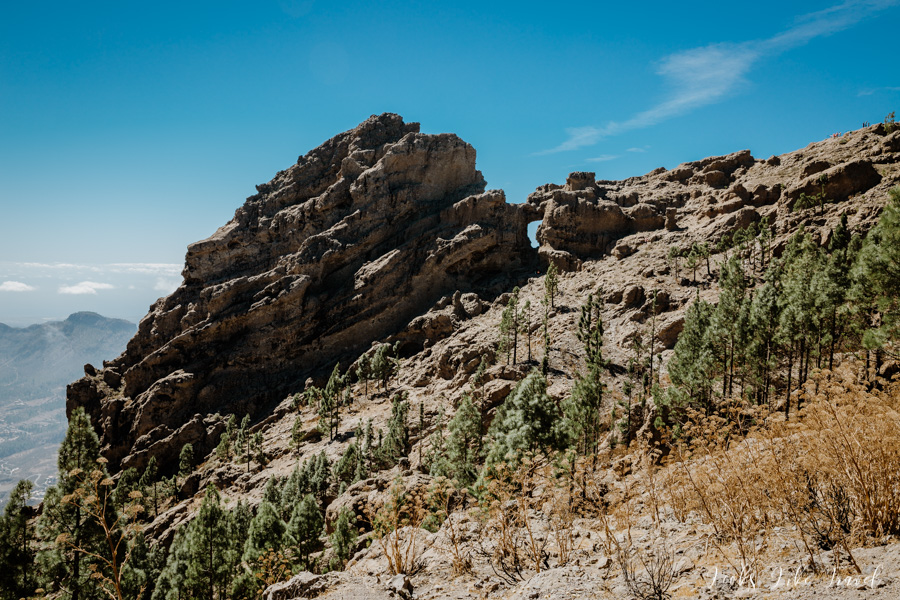
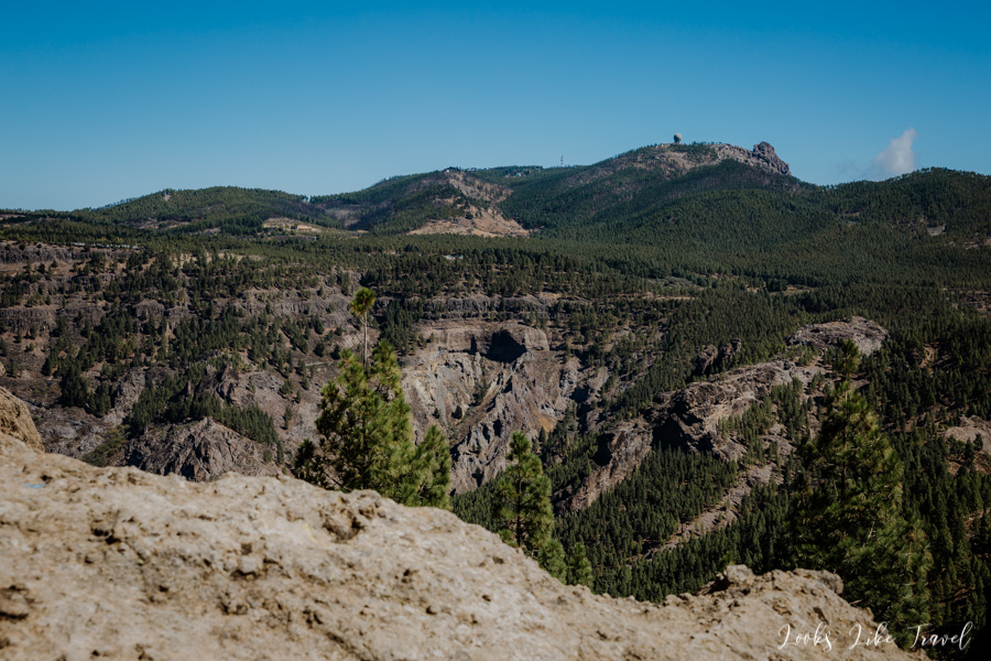
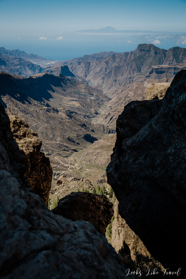
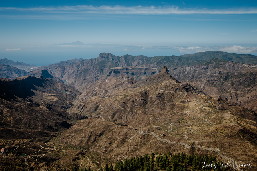
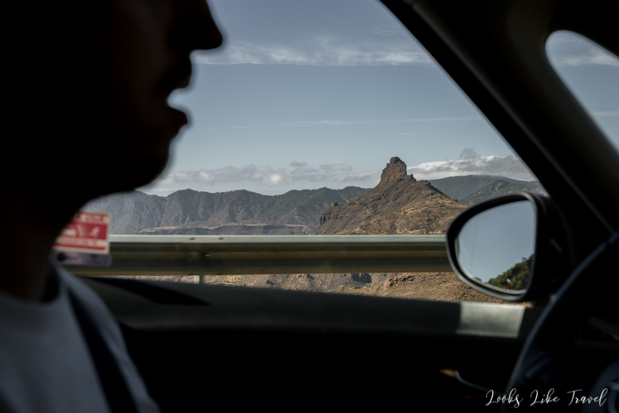
Since we see that there is an option to drive even higher, we decide to do it. In a moment we are at the top, which is 1949 m above sea level. From here we can see our next point of travel – the mountain trail to Roque Nublo. A little further we can also see Roque Bentayga. When the weather is perfect, as today, you can also see the highest peak of Tenerife – Teide.
We go further.
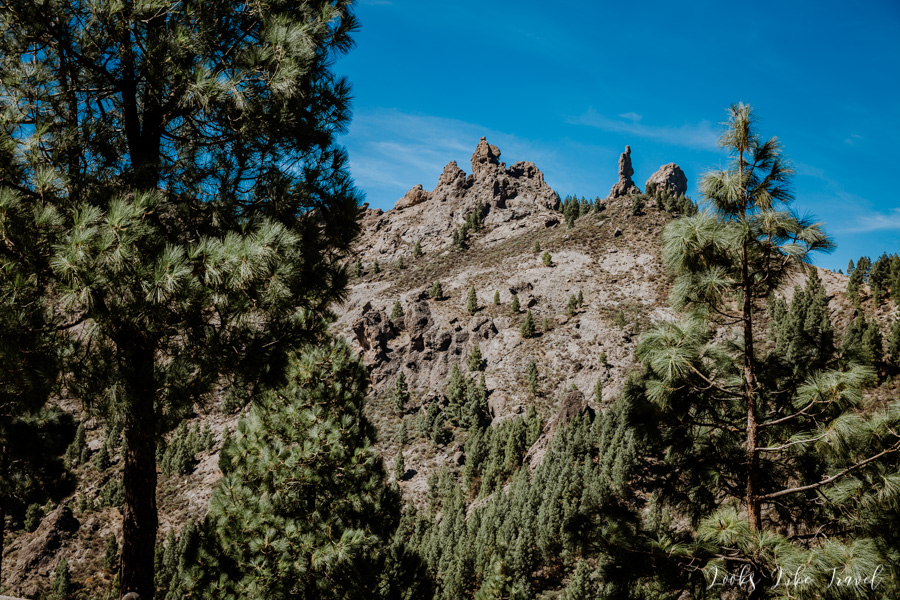
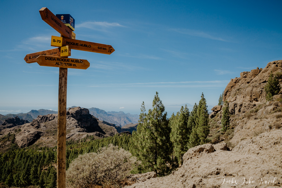
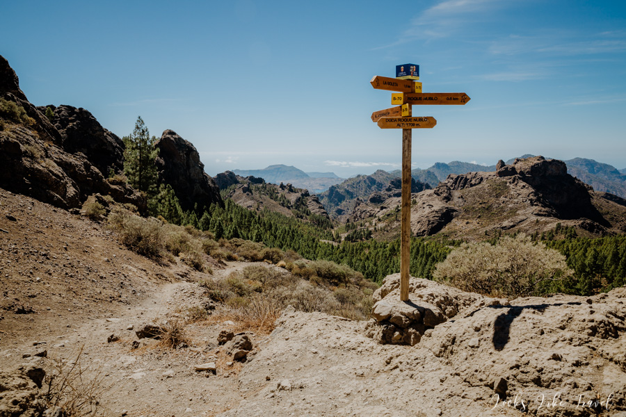
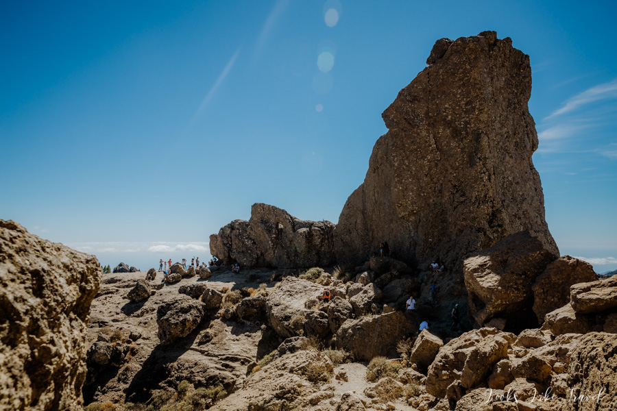
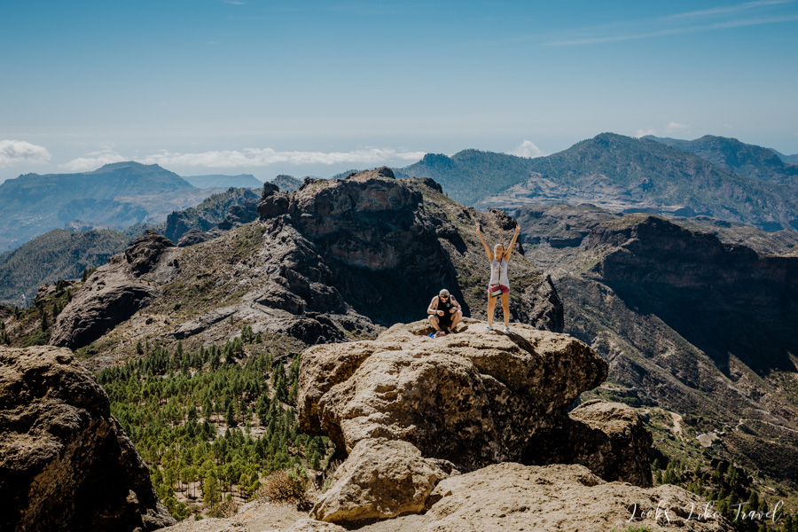
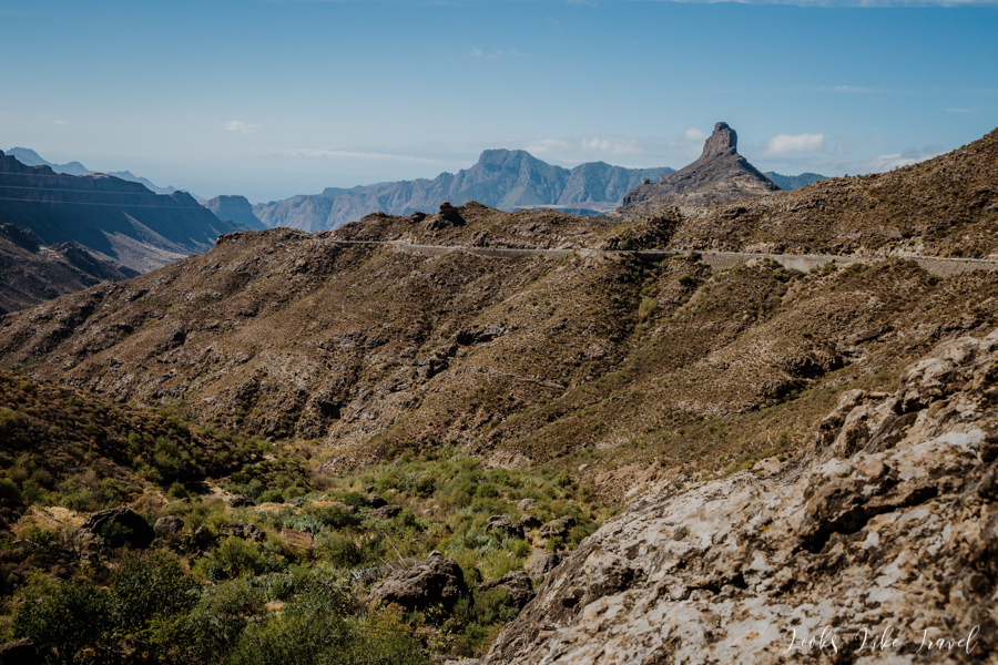
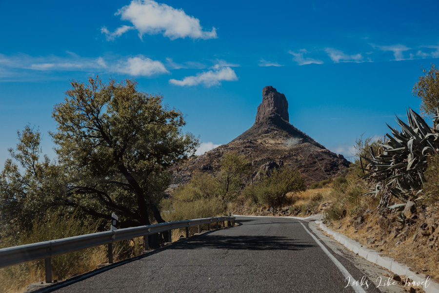
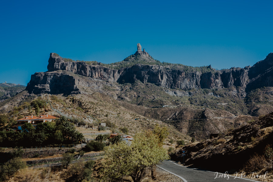
roque nublo- important information
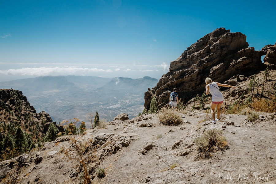
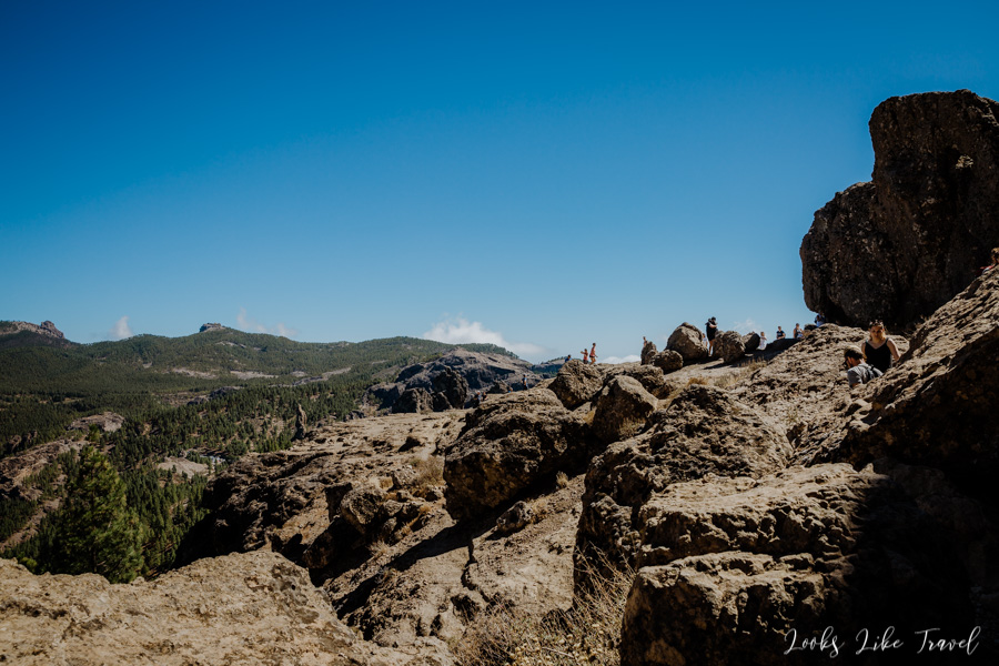
After crossing a winding road we reach the parking lot Aparcamiento de la Degollada de La Goleta, where the mountain trail begins. It is filled to the brim, so we park on the roadside a bit further. By accident we didn’t take enough water from the apartment, but according to the plan the road is going to take 45 minutes. I don’t remember if it’s one way or back and forth. From the parking we think that the rocks are quite close, so we don’t care so much. It turns out that this is a mistake, because it takes a lot more time to get to Roque Nublo and the sun burns hard. The whole mountain trip is very difficult for us, but we somehow managed to do it, and on the way back we buy a pair of cans of drinks in a small stand.
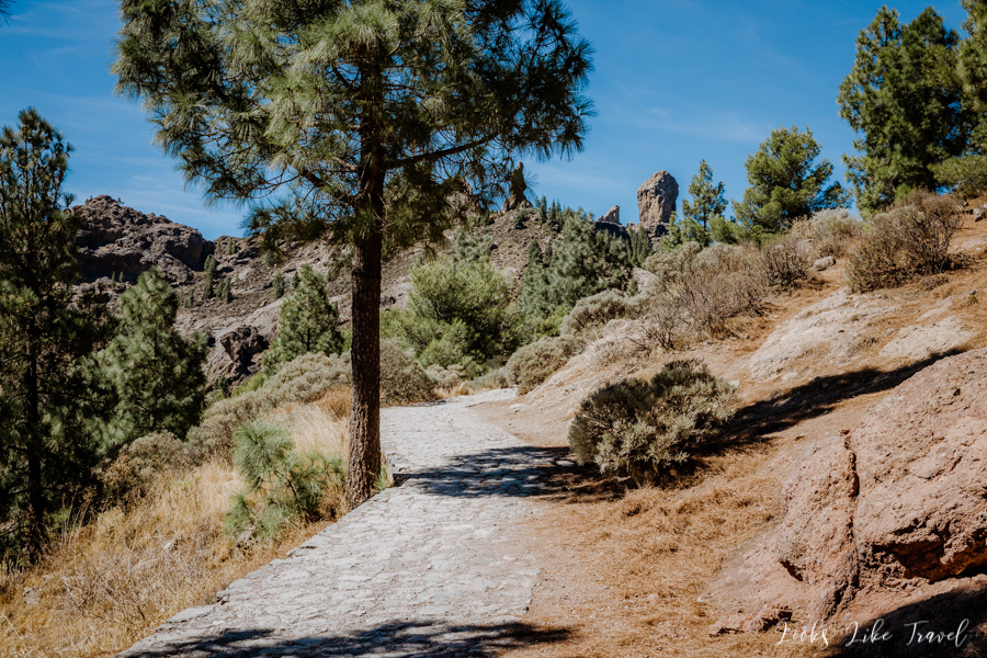
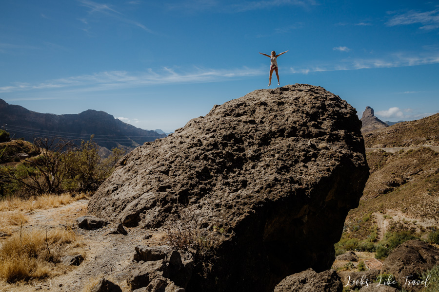
We go down the path towards the “mace”. All the time it seems to be very close. The views are wonderful and it’s hard not to take pictures.
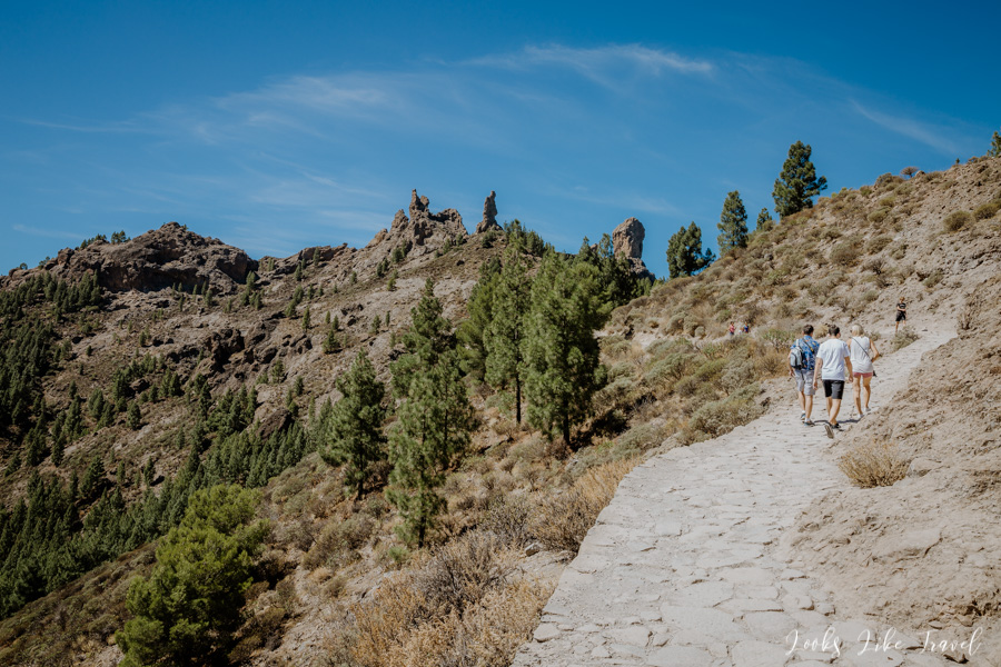
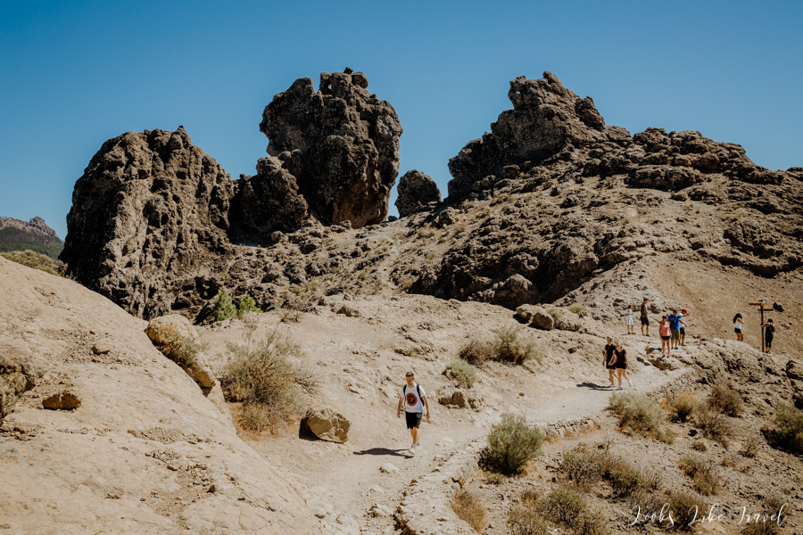
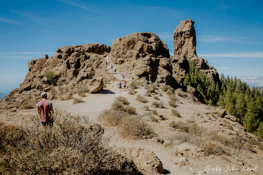
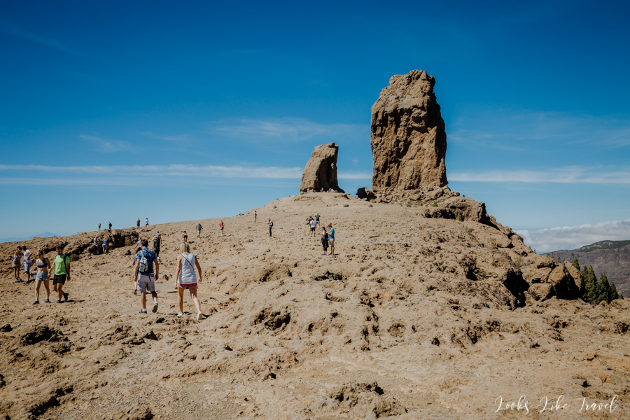
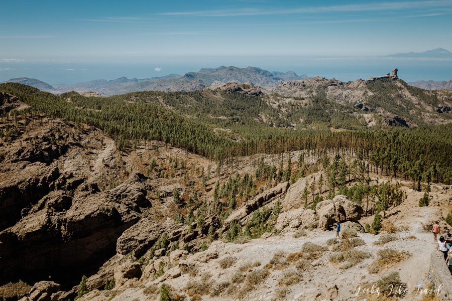
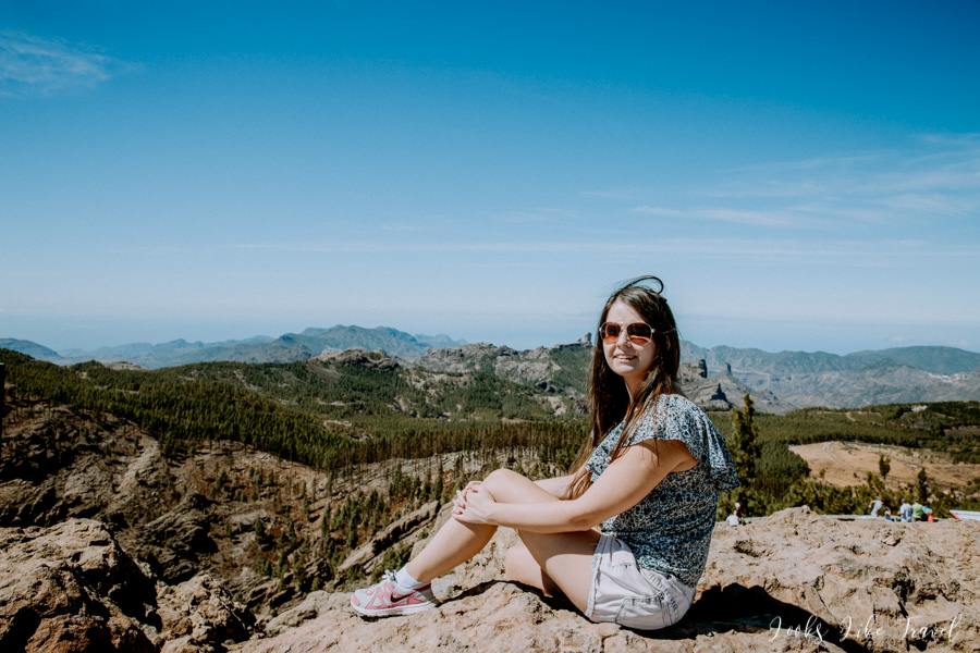
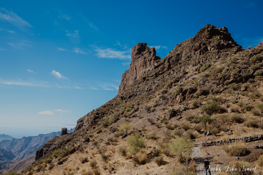
roque nublo and magnificent landscapes
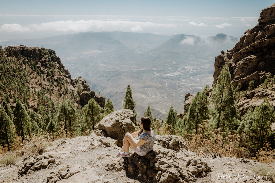
Roque Nublo is located at an altitude of 1813 m. You can walk up to the rock itself. I recommend it even to the biggest lazybones, because it is from where are the most beautiful views of the surroundings. We can admire winding roads, small lakes, rocky playgrounds, green valleys and the ocean. We are lucky to see Tenerife as well. I also notice our next point of the route – Roque Bentayga.

We go back to the car.
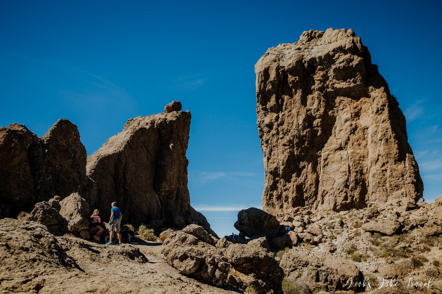
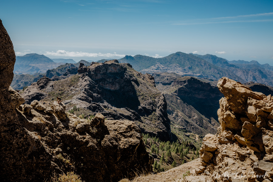
It is worth mentioning that there are other interesting rocks near Roque Nublo. In the photo below, taken close to the car, you can recognize the rooster (El Gallo) and the monk (El Fraile). La Rana is next to Roque Nublo, but from here it is covered by coniferous trees.
beautiful road to Roque Bentayga
We go back to the car and drive further to Roque Bentayga.
Along the way we stop on the roadside, by a big stone, to take a few photos of the rock, to which we slowly approach.
Then we go straight to the point.
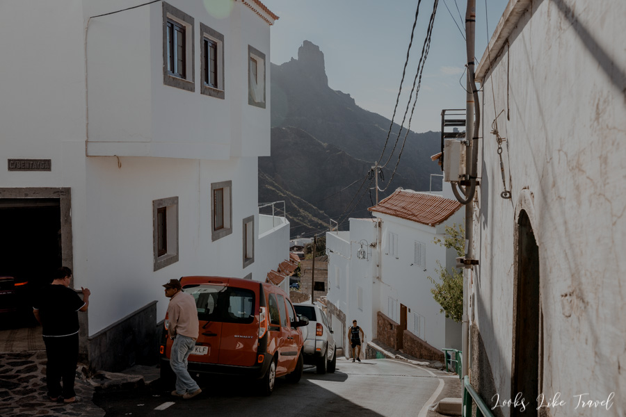
about Roque Bentayga
Here we notice a plate saying that you can go on another mountain trip, but taking into account the previous trip, small reserves of water and the fact that we still have a bit left to explore this day, we give up this trip. I am a bit disappointed, but I had in mind that we might run out of time. That’s why I decided to make a longer trip already on the first day of my stay on the island.
Like Roque Nublo, Roque Bentayga is a basalt monolith that grows out of the rocks in the middle of Gran Canaria. It rises to an altitude of 1,412 metres above sea level. When planning my trip, I found it difficult to find the way on google maps and find out exactly where the parking and the entrance to the rock trail are located. During the ride, however, it turns out that I was unnecessarily worried because the roads are well signposted and direct to the right place.
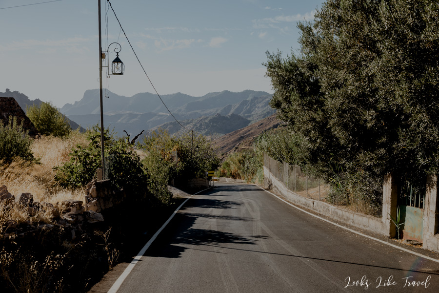
We go further. If we could see Roque Bentayga from Roque Nublo, you can guess that Roque Nublo is visible from Roque Bentayga. We admire the place where we were a moment ago from the route.
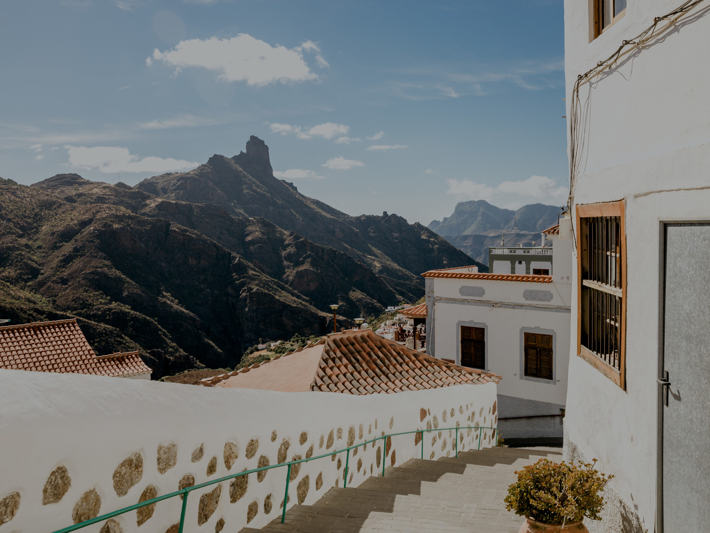
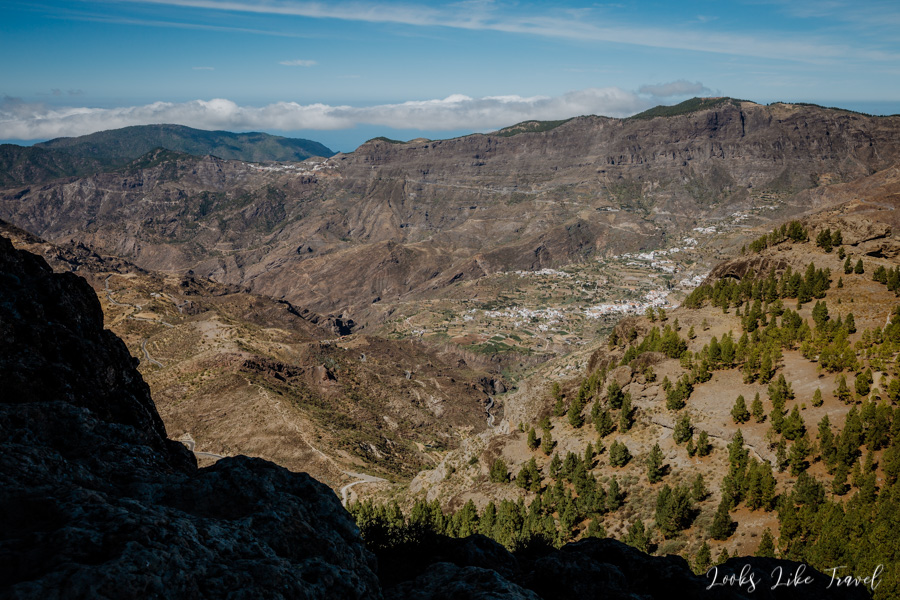
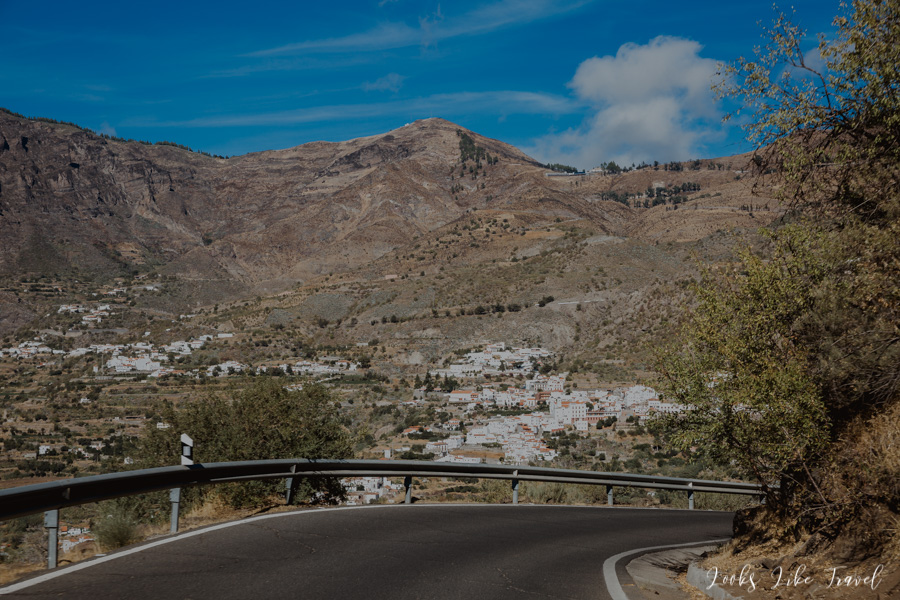
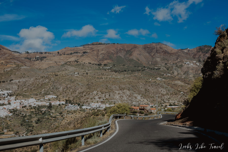
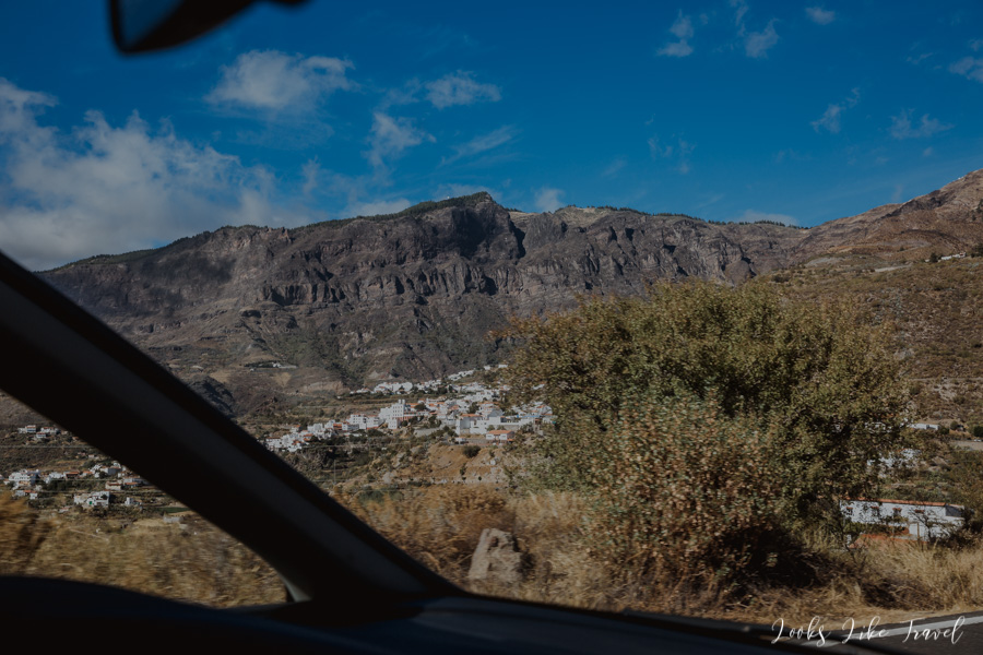
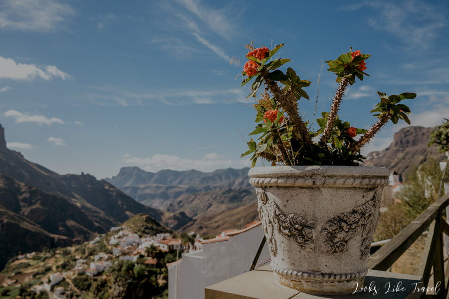
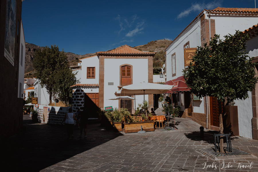
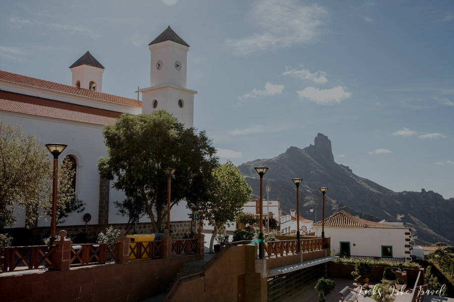
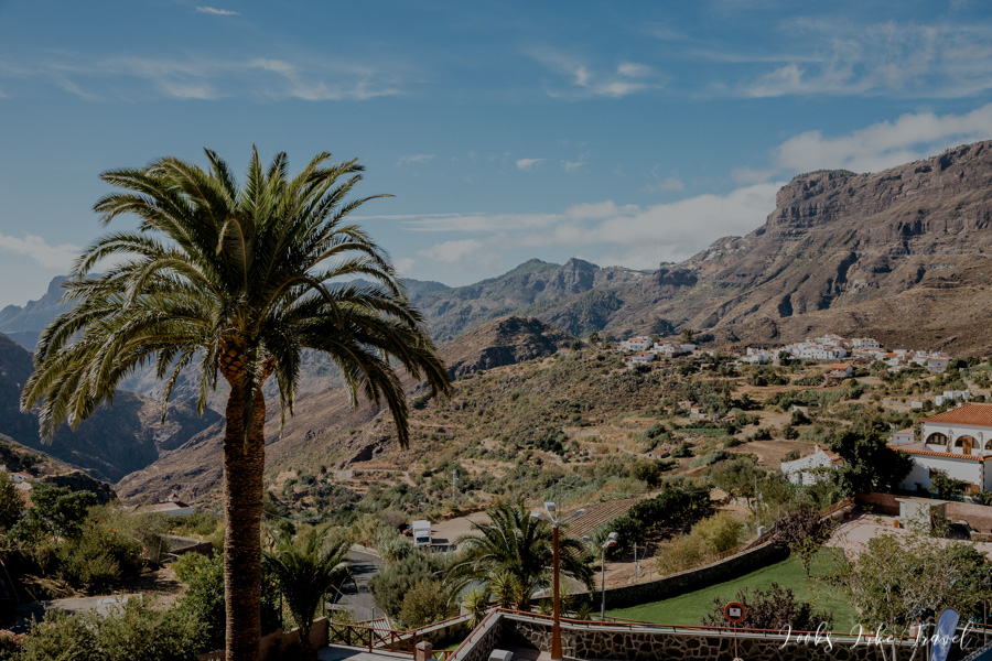
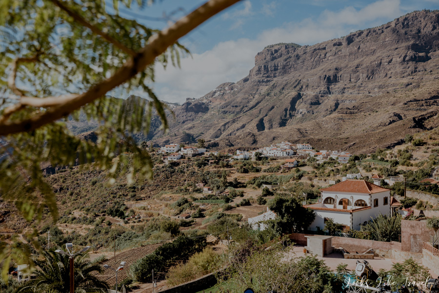
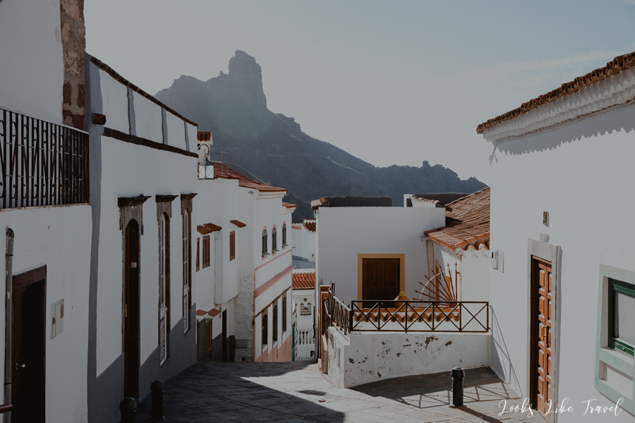
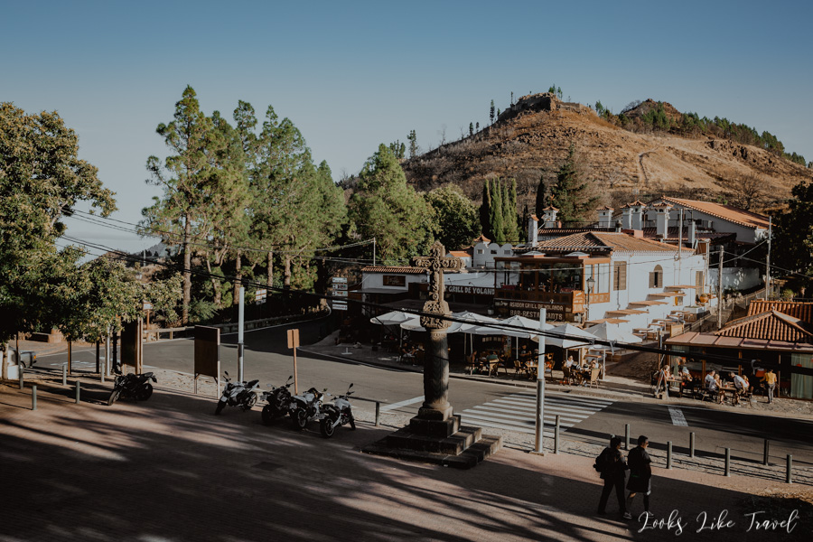
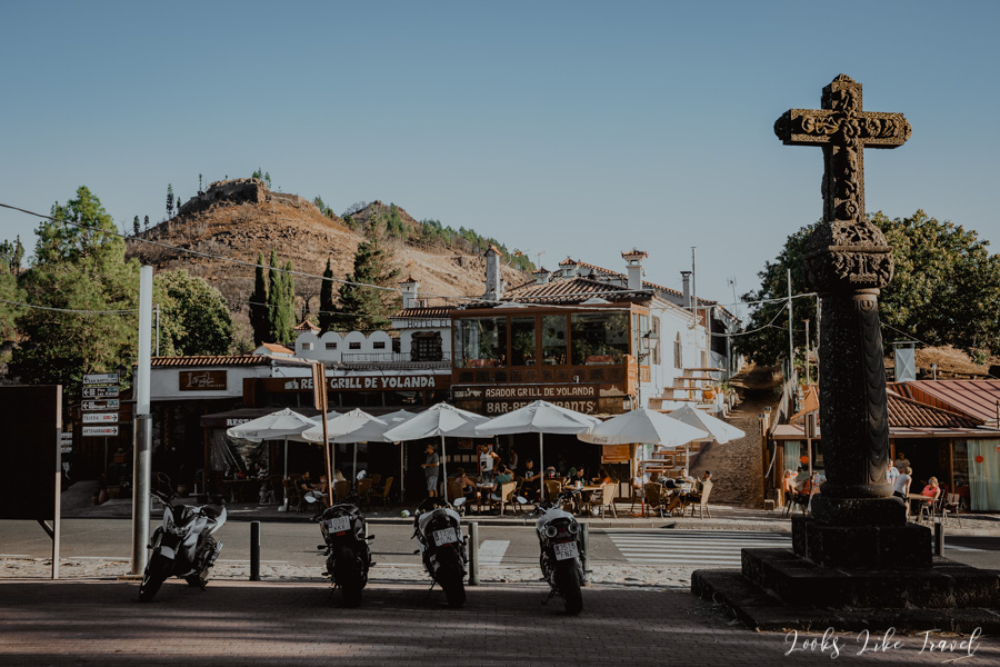
wonderful white towns
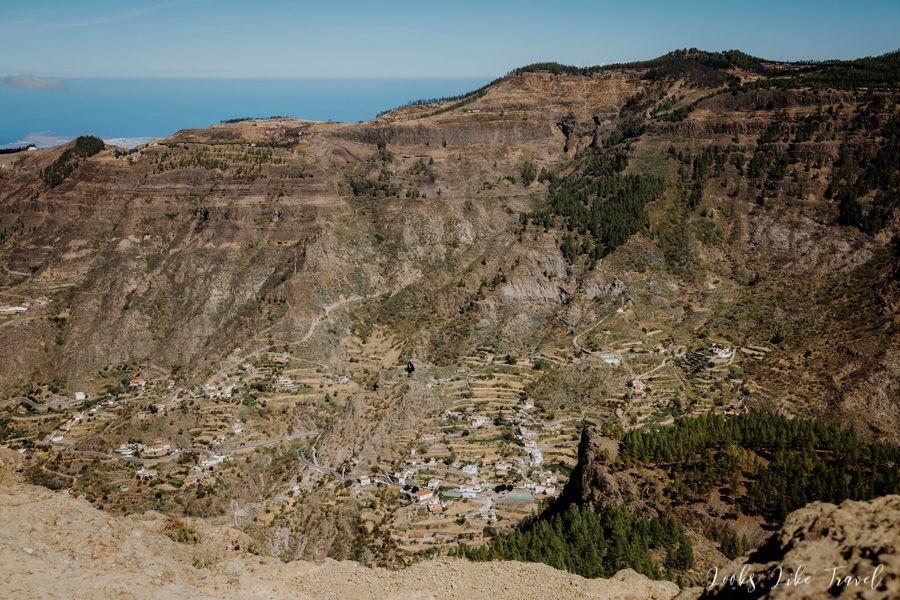
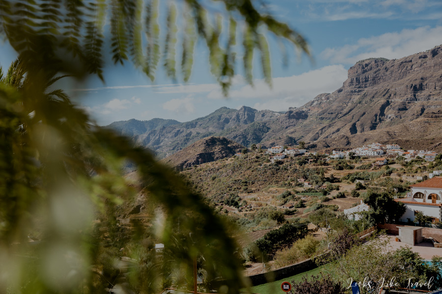
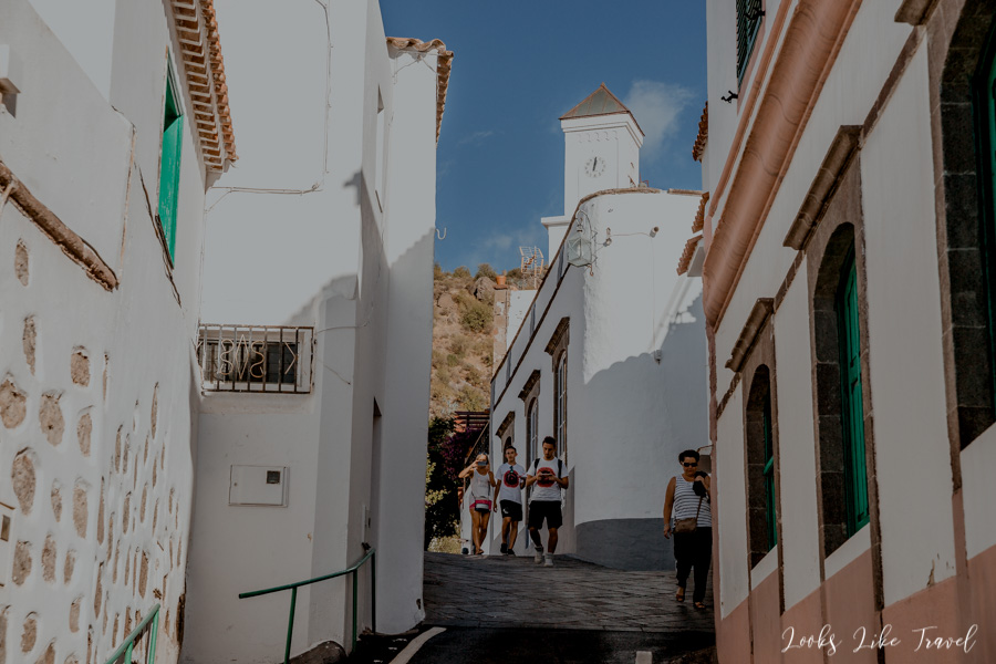
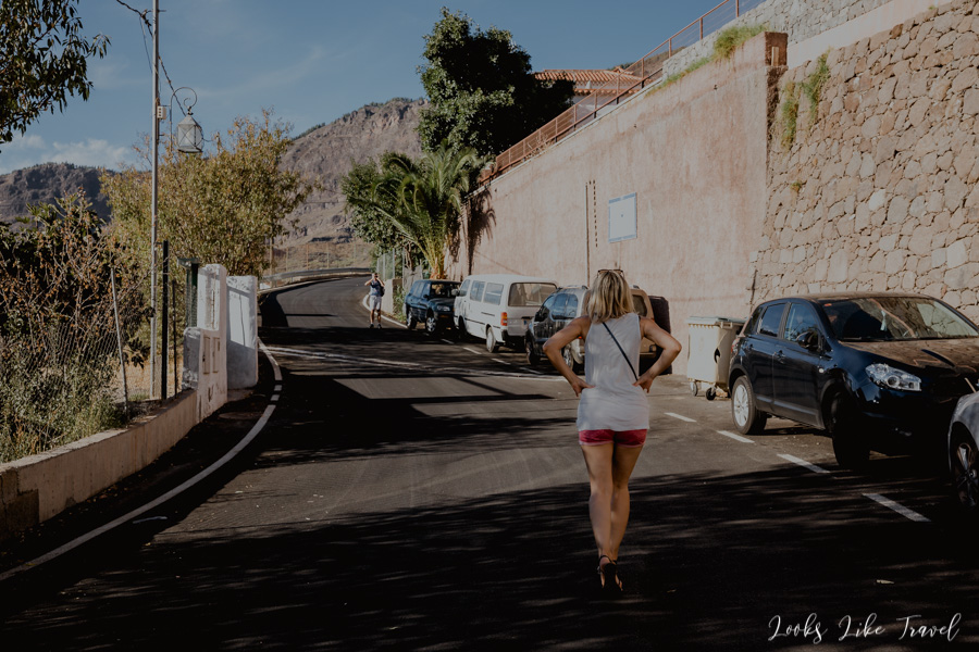
We go downhill in the direction of Tejeda. The road is really charming. We recall the white towns of Pueblos Blancos in Andalusia, Spain, because here we pass very similar ones.
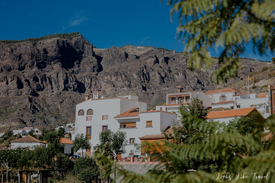
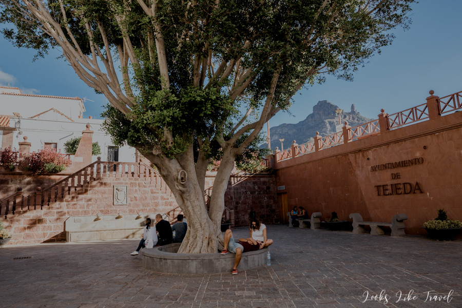
unique climate of the Tejeda
As I have already mentioned, the next point of the trip is Tejeda. We drive into the town and in its upper part we can easily find a parking place.
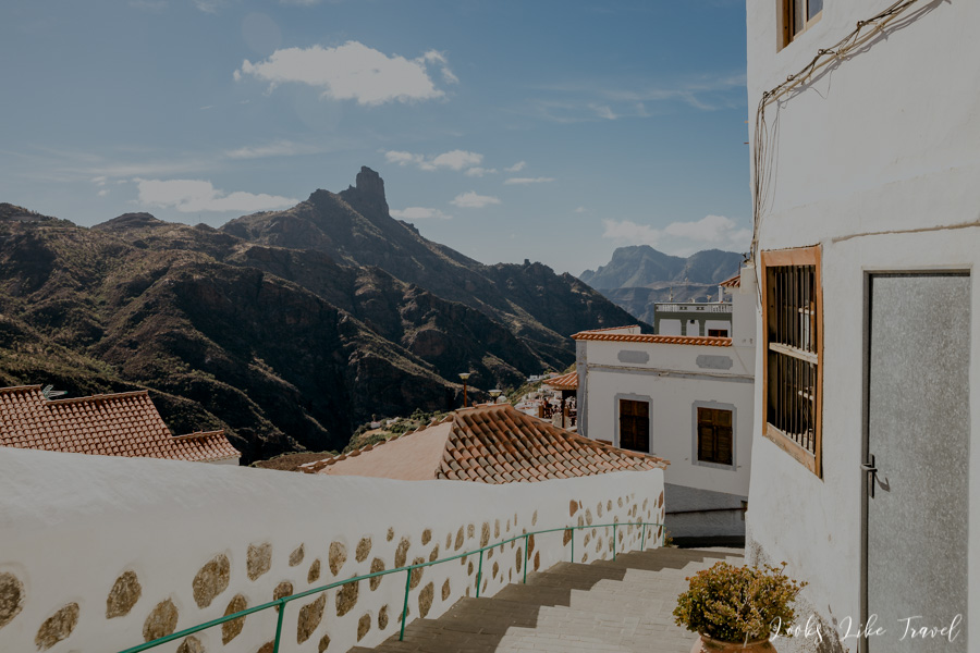
We get off the car and head towards the center of Tejeda. Then we go down the charming steps among beautiful buildings with a view of Roque Bentayga.
We are a bit hungry and tired, so with the help of Google’s ratings we look for a restaurant where we could drink something cold and have a snack on a small meal.
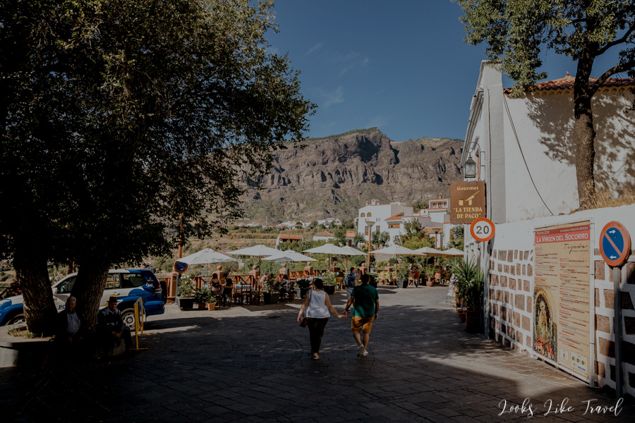
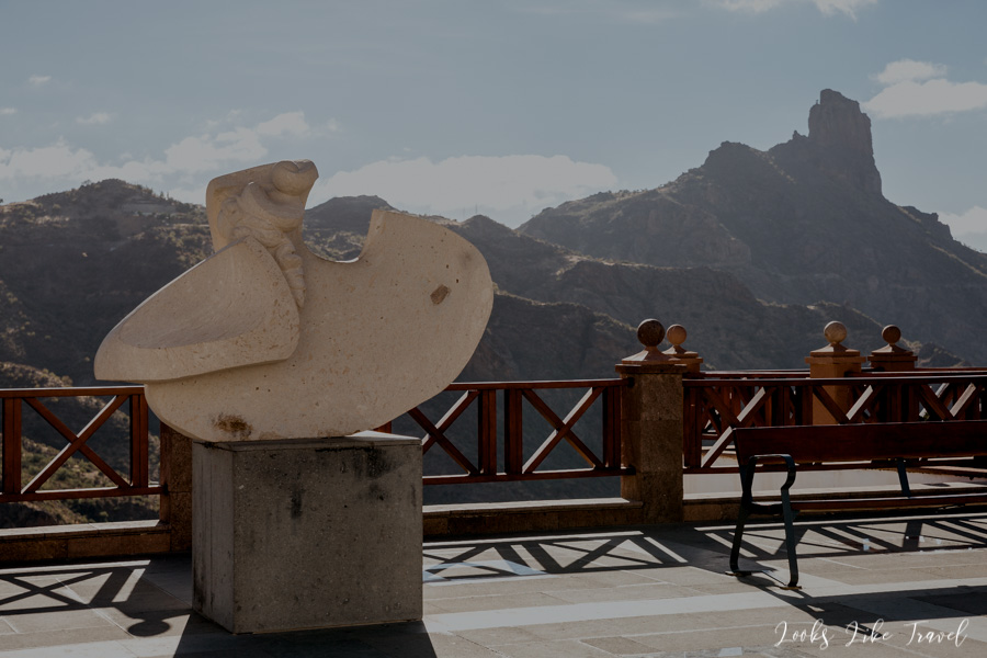
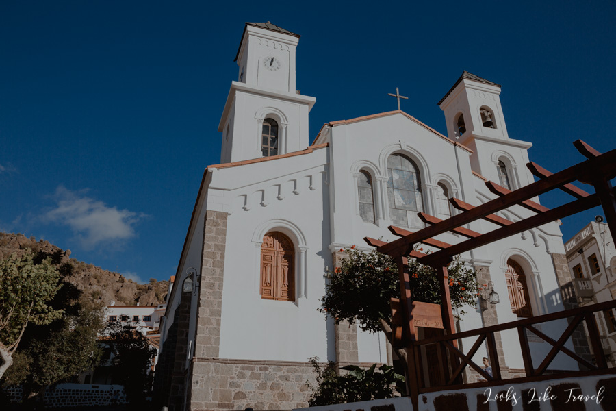
Our stop is at the El Labrador restaurant located in the very centre of Tejeda at the church. We get drinks, but unfortunately no one brings us the garlic toasts we ordered. If we had more time, we wouldn’t mind, because the pub is in a beautiful location with wonderful views of the surroundings of the town.
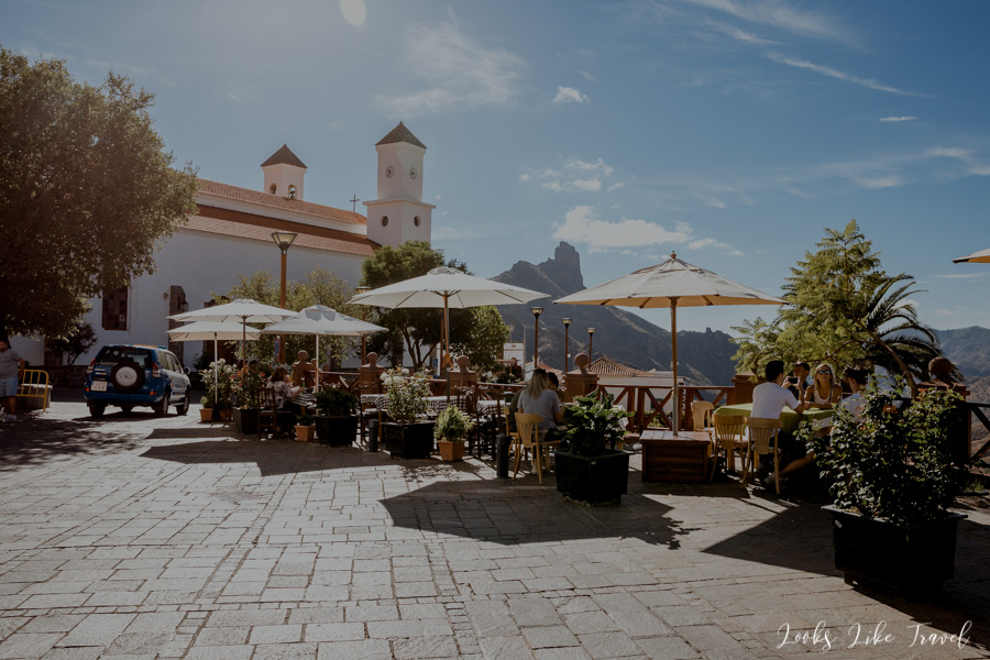
Time is running out, so we pay and go to the recommended confectionery, where almost everyone takes something for themselves. We eat delicious sweets on the square by the church. It is hard to describe how good our cakes were. In addition, each cost no more than 1 euro, so there is no doubt that it is worth buying something there. The confectionery is called Dulceria Nublo and is also recommended on other travel blogs.
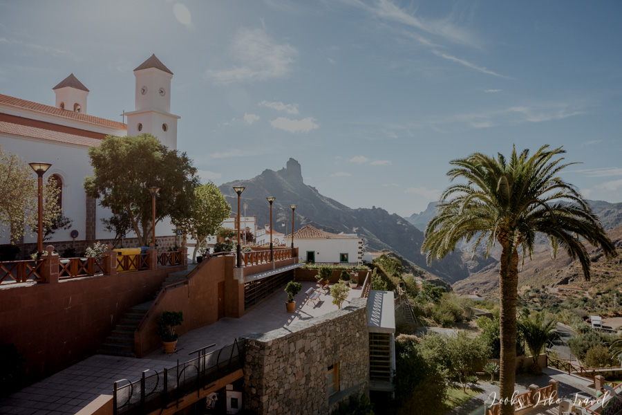
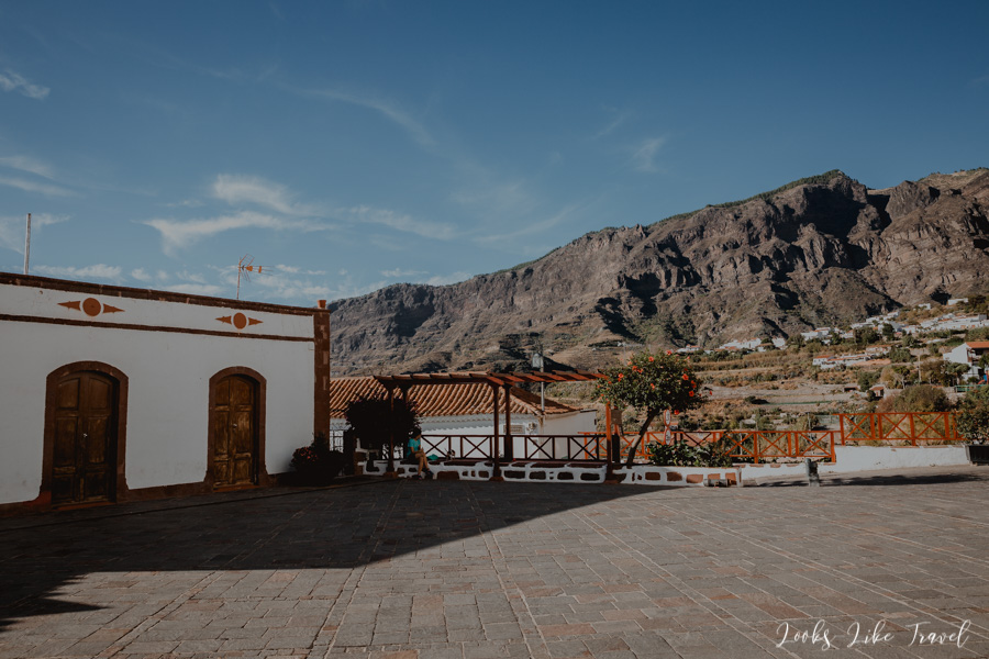
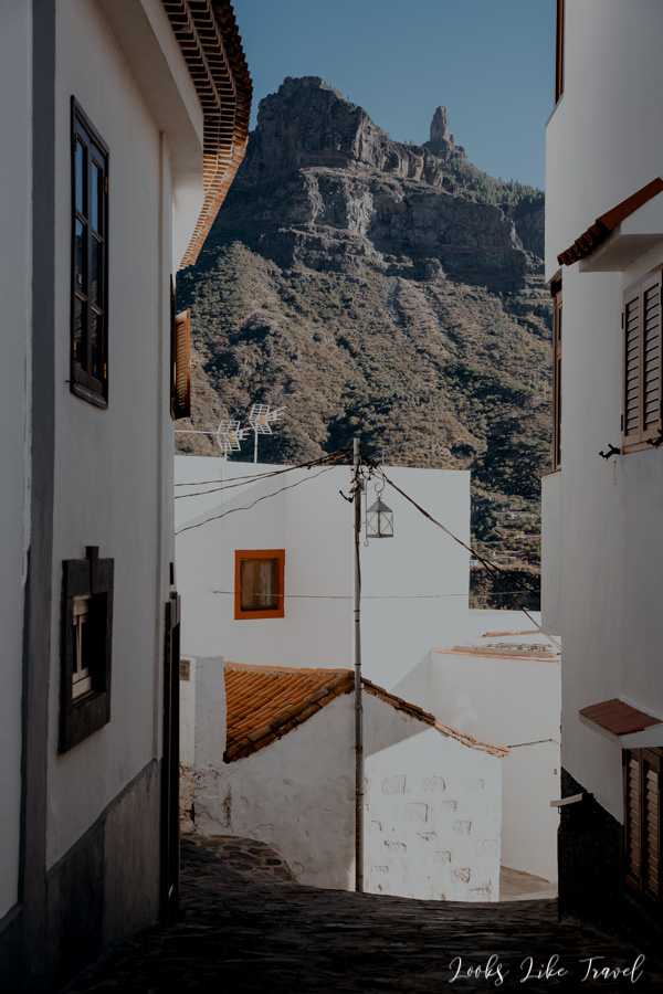
walking along narrow streets of tejeda
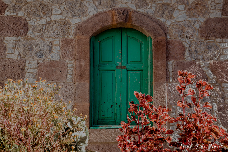
After a short rest we go to visit the town. We find ourselves in narrow streets between white blocks of flats. Residents here have really nice views of the mountains. It was hard to choose just a few pictures, so I put in a lot of them. I hope you will enjoy it and thanks to them you will get to know the charm of Tejeda.
to the heart of Gran Canaria
If you made it here, it’s great. Let’s go further. We head to the heart of Gran Canaria.
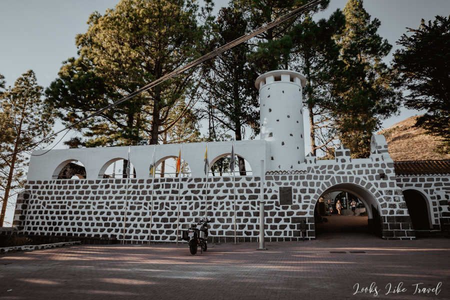
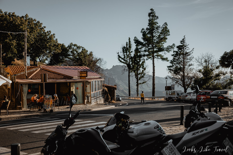
Cruz de Tejeda- wonderful sights of the surroundings
Our last point of interest is Cruz de Tejeda– a town marking the center of the island. We manage to get here at the ideal time, because the sun approaching the west, gives beautiful lighting to the next layers of the mountain. Some of the most beautiful pictures I managed to take on this trip come from here. Currently in the village we come across a rally of motorcyclists, so fans of motoring have the opportunity to admire fast machines.

back to the arinaga
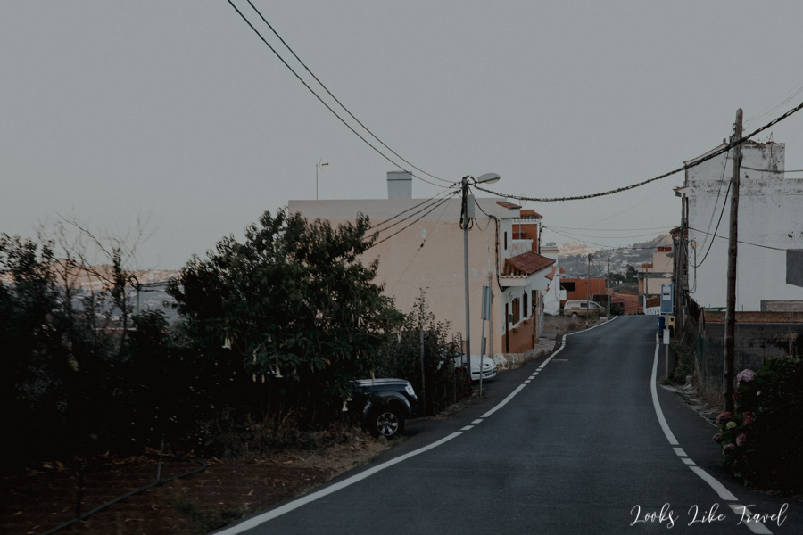
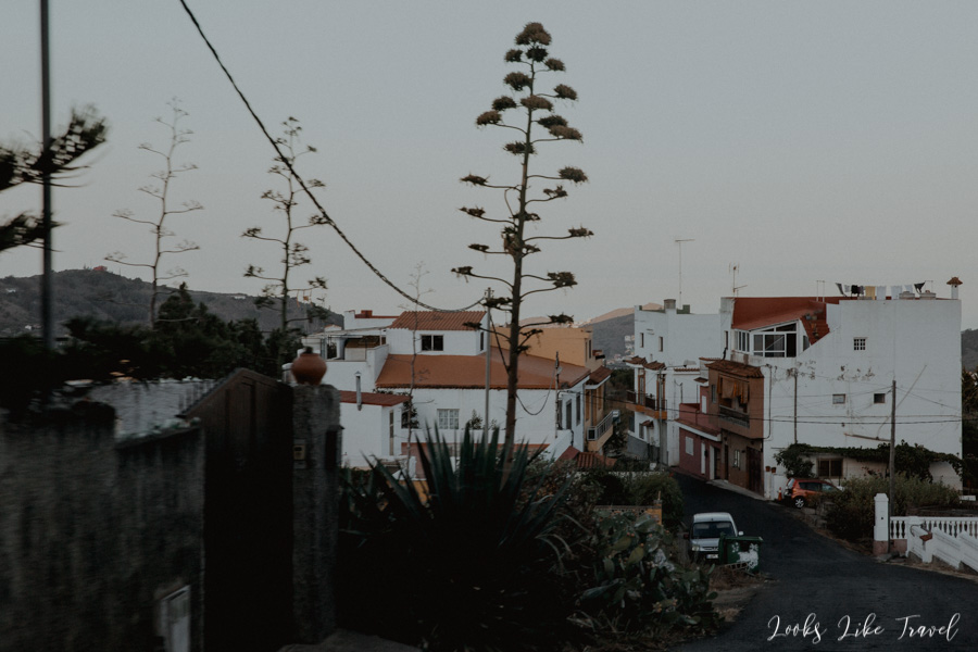
After a short stopover we set off. We leave the mountains and slowly descend towards the ocean. The views are getting worse as we pass small, slightly neglected villages.
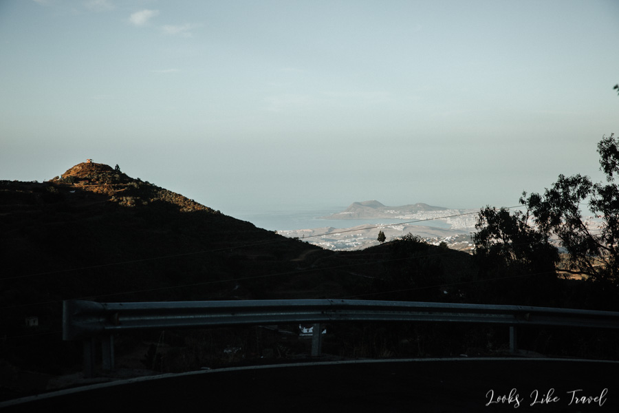
We pass through Santa Brigida – we will visit this city on another day.
night-time bathing in the ocean
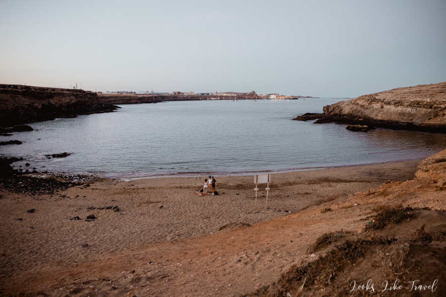
That day I wanted to swim in the ocean for at least a moment, so on the way to Arinaga we arrive at the parking lot at the beach Aguadulce.
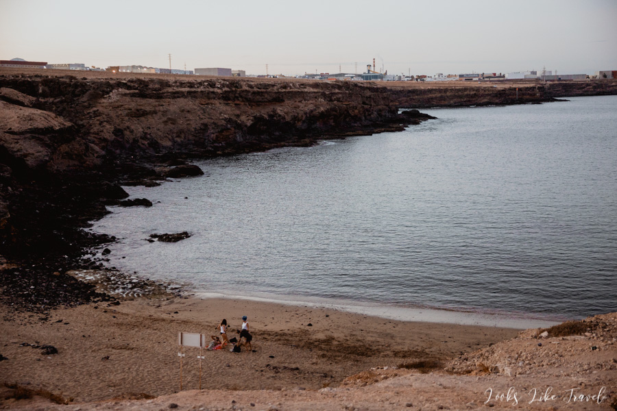
Before we go to the beach, we take a look at the beach Tufia, located opposite the beach of Aguadulce.
Although the beach was recommended in other travel guides, I recommend that you let it go. There are views of various factories and other urban buildings, which completely spoil the impression. Unfortunately, in the east of the island there are no nice beaches.
When I enter the water it is basically already dark, but the water is very warm. I would even say that the warmest I have bathed in during my entire stay in Gran Canaria.
After the bath we go to the market to do some big shopping for the whole trip and return to Arinaga for dinner. We spend some time with a glass of wine in the apartment and this is the end of the day.
How can we sum up our first day? The roads in Gran Canaria are winding. You have to take a lot of beverages with you. For the time being, even in the mountains it is very warm.
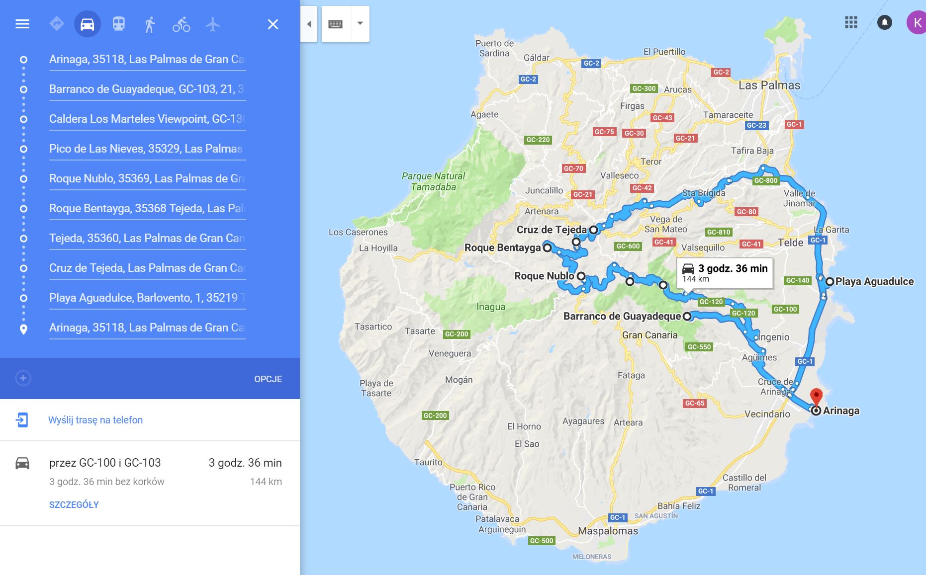
a route map on gran canaria
Our today’s road (click here):
Thank you for reading the entry!
If you think it is interesting, we would be pleased if you leave a mark in the comment.
You will find more posts from Gran Canaria here:
There are direct links to the next and previous episodes below.
All our travels: Travels
We also invite you to our Instagram and Facebook fanpage, where you can be up to date with all our travels.
See you later! 🙂

Super 🙂
Bardzo fajna trasa. Żałuję, że nie byłem.
Ładne foty!!!